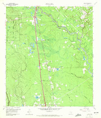
1961 Map of Tamina
USGS Topo · Published 1972About this map
The West Fork San Jacinto River and its dense network of tributaries, including Spring Creek and White Oak Creek, define the water-rich landscape of southern Montgomery County. This 1961 survey depicts the small settlements of Tamina and Rayford during a period of rural transition, before the intense suburban expansion from the south. The Missouri Pacific railroad corridor serves as the primary north-south spine for the area, passing through a terrain dotted with named wetlands and ponds like Champion Lake and Falvey Lake.
Find a feature on this map
45 named features on this map. Tap any name to fly to it.
Don’t see what you’re looking for? This feature index may not catch every label — zoom into the map to look around manually.
Map Details
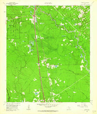
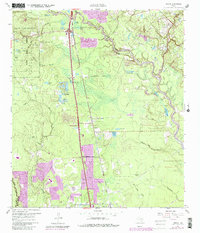
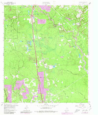
Editions of this 1961 Tamina Map
4 editions found
Other maps of this area

1916 · Louetta
USGS Topo · 1:24,000

1916 · Spring
USGS Topo · 1:24,000

1919 · Weeden
USGS Topo · 1:31,680

1920 · Spring
USGS Topo · 1:31,680

1920 · Louetta
USGS Topo · 1:31,680

1954 · Beaumont
USGS Topo · 1:250,000

1957 · Beaumont
USGS Topo · 1:250,000

1958 · Conroe
USGS Topo · 1:24,000

1958 · Cowl Spur
USGS Topo · 1:24,000

1959 · Outlaw Pond
USGS Topo · 1:24,000