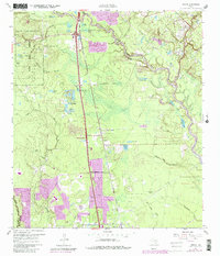
1961 Map of Tamina
USGS Topo · Published 1980About this map
The West Fork San Jacinto River meanders across the eastern portion of this landscape, its path defined by numerous backwaters like Bird Lake and Old Boggy Slough. This region of Montgomery County, south of Conroe, shows a mix of established timberlands in the W G Jones State Forest and emerging residential developments. The Missouri Pacific railroad line acts as a central spine, running parallel to the primary highway corridor and connecting the settlements of Shenandoah, Tamina, and Rayford.
Find a feature on this map
47 named features on this map. Tap any name to fly to it.
Don’t see what you’re looking for? This feature index may not catch every label — zoom into the map to look around manually.
Map Details
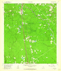
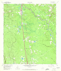
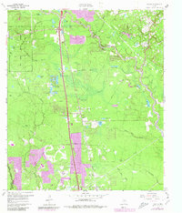
Editions of this 1961 Tamina Map
4 editions found
Other maps of this area

1916 · Louetta
USGS Topo · 1:24,000

1916 · Spring
USGS Topo · 1:24,000

1919 · Weeden
USGS Topo · 1:31,680

1920 · Spring
USGS Topo · 1:31,680

1920 · Louetta
USGS Topo · 1:31,680

1954 · Beaumont
USGS Topo · 1:250,000

1957 · Beaumont
USGS Topo · 1:250,000

1958 · Conroe
USGS Topo · 1:24,000

1958 · Cowl Spur
USGS Topo · 1:24,000

1959 · Outlaw Pond
USGS Topo · 1:24,000