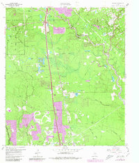
1961 Map of Tamina
USGS Topo · Published 1980About this map
The West Fork San Jacinto River winds through this landscape, defining a terrain of numerous oxbow lakes and sloughs like Bird Lake and Boggy Slough. The area is characterized by its transition from the managed timber of the W G Jones State Forest in the northwest to the emerging residential clusters of Shenandoah and Tamina. The Missouri Pacific railroad serves as a central spine for the region, paralleled by rural routes such as Needham Road. Local history is anchored by community landmarks including Falvey Memorial Ch, Tamina Ch, and the Tamina Cem. Water remains a dominant feature throughout, from named ponds like Webber Pond to larger bodies such as Champion Lake, reflecting the low-lying, creek-fed geography north of the Montgomery and Harris county line.
Find a feature on this map
49 named features on this map. Tap any name to fly to it.
Don’t see what you’re looking for? This feature index may not catch every label — zoom into the map to look around manually.
Map Details
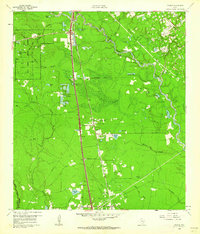
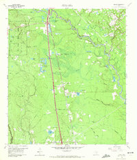
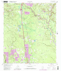
Editions of this 1961 Tamina Map
4 editions found
Other maps of this area

1916 · Louetta
USGS Topo · 1:24,000

1916 · Spring
USGS Topo · 1:24,000

1919 · Weeden
USGS Topo · 1:31,680

1920 · Spring
USGS Topo · 1:31,680

1920 · Louetta
USGS Topo · 1:31,680

1954 · Beaumont
USGS Topo · 1:250,000

1957 · Beaumont
USGS Topo · 1:250,000

1958 · Conroe
USGS Topo · 1:24,000

1958 · Cowl Spur
USGS Topo · 1:24,000

1959 · Outlaw Pond
USGS Topo · 1:24,000