
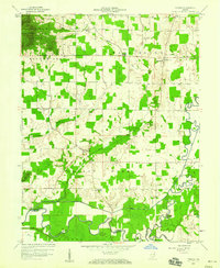
1959 Map of Tampico
USGS Topo · Published 1960About this map
Tampico sits at the heart of this southern Indiana landscape, where the agricultural plains of Grassy Fork meet the wooded elevations of the Jackson-Washington State Forest. In the late 1950s, this region was defined by a network of drainage infrastructure designed to manage the flood-prone lowlands, including the Brettfield Ditch, Smart Ditch, and Rider Ditch, all feeding toward the meandering Muscatatuck River at the southern boundary. The map captures a community anchored by local institutions, from the Russell Cem Chapel and Mt Pleasant Cem to rural school sites like Cox Sch and Emanuel Sch. These landmarks, along with the clustered settlements of Dudleytown and Sauers, reflect a mid-century rural economy deeply tied to the land and the strategic management of its waterways, such as the Vernon Fork.
Find a feature on this map
28 named features on this map. Tap any name to fly to it.
Don’t see what you’re looking for? This feature index may not catch every label — zoom into the map to look around manually.
Map Details
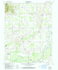
Editions of this 1959 Tampico Map
3 editions found
Other maps of this area

1947 · Scottsburg
USGS Topo · 1:24,000

1953 · Kossuth
USGS Topo · 1:24,000

1956 · Vincennes
USGS Topo · 1:250,000

1956 · Louisville
USGS Topo · 1:250,000

1957 · Vincennes
USGS Topo · 1:250,000

1958 · Vincennes
USGS Topo · 1:250,000

1958 · Little York
USGS Topo · 1:24,000

1958 · Brownstown
USGS Topo · 1:24,000

1958 · Seymour
USGS Topo · 1:24,000
1959 · Vallonia
USGS Topo · 1:24,000