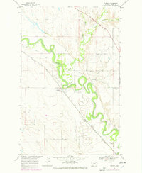
1969 Map of Tampico
USGS Topo · Published 1978About this map
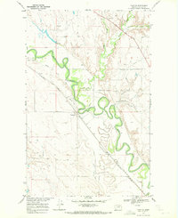
The Milk River meanders in tight oxbows through this portion of Valley County, creating a fertile bottomland corridor defined by irrigation and infrastructure. The small settlement of Tampico serves as a focal point where the Burlington Northern railroad and a local Landing Strip intersect the river valley. To the north, the historic Lewis and Clark Trail follows the upland bench, paralleled by the modern highway and a Roadside Park.
Find a feature on this map
21 named features on this map. Tap any name to fly to it.
Don’t see what you’re looking for? This feature index may not catch every label — zoom into the map to look around manually.
Map Details
Editions of this 1969 Tampico Map
2 editions found
Other maps of this area

1943 · Glasgow
USGS Topo · 1:125,000

1954 · Glasgow
USGS Topo · 1:250,000

1957 · Glasgow
USGS Topo · 1:250,000

1958 · Glasgow
USGS Topo · 1:250,000

1958 · Engstrom Ranch
USGS Topo · 1:24,000

1958 · Miller Coulee
USGS Topo · 1:62,500

1958 · Glasgow
USGS Topo · 1:24,000
1958 · Billick Coulee
USGS Topo · 1:24,000

1969 · Cornwell Reservoir
USGS Topo · 1:24,000
1969 · Tampico
USGS Topo · 1:24,000