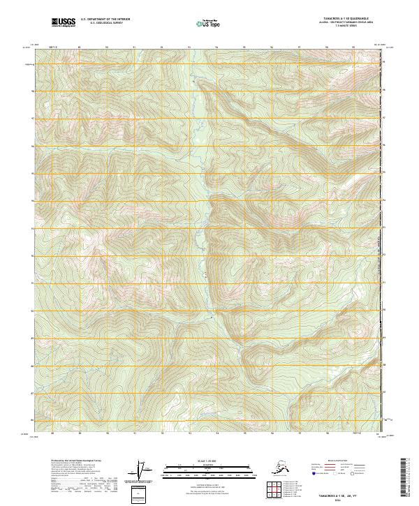
2024 Map of Tanacross A-1 SE
USGS Topo · Published 2024About this map
McArthur Creek dominates the central drainage of this high-latitude Alaskan interior landscape, flowing north through a series of steep drainages and mountain ridges. The terrain is characterized by intense relief, typical of the Southeast Fairbanks Census Area, where the land remains primarily defined by natural hydrography rather than human development. In the southeast corner, the headwaters of Yellow Water Creek begin to gather, marking a topographical divide. The surveying of this region is organized by township and range lines, including t15n r22e and t15n r23e, which partition the vast wilderness of the United States of America into a systematic grid for resource management and public land identification.
Find a feature on this map
9 named features on this map. Tap any name to fly to it.
Don’t see what you’re looking for? This feature index may not catch every label — zoom into the map to look around manually.
Map Details
Editions of this 2024 Tanacross A-1 SE Map
This is the sole edition of this map. No revisions or reprints were ever made.
Other maps of this area

1949 · Tanacross
USGS Topo · 1:250,000

1950 · Tanacross
USGS Topo · 1:250,000

1950 · Nabesna
USGS Topo · 1:250,000

1951 · Nabesna
USGS Topo · 1:250,000

1952 · Nabesna D-1
USGS Topo · 1:63,360

1952 · Tanacross A-1
USGS Topo · 1:63,360

1956 · Tanacross
USGS Topo · 1:250,000

1960 · Nabesna
USGS Topo · 1:250,000

1964 · Tanacross
USGS Topo · 1:250,000

2013 · Tanacross A-1 NW
USGS Topo · 1:25,000