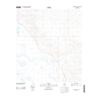
2013 Map of Tanacross A-3 NE
USGS Topo · Published 2013About this map
The Tanana River anchors this interior Alaskan landscape, winding through a complex of glacial and alluvial water bodies. The terrain is defined by its hydrology, where large basins such as Tlocogn Lake, Tlechegn Lake, and Tsilehin Lake sit south of the primary river channel. These names reflect the local heritage and geography of the Unorganized Borough, situated in a region where the vast river drainage systems have historically dictated travel and subsistence patterns.
Find a feature on this map
10 named features on this map. Tap any name to fly to it.
Don’t see what you’re looking for? This feature index may not catch every label — zoom into the map to look around manually.
Map Details
Editions of this 2013 Tanacross A-3 NE Map
This is the sole edition of this map. No revisions or reprints were ever made.
Other maps of this area
1948 · Tanacross A-3
USGS Topo · 1:63,360
1948 · Tanacross B-3
USGS Topo · 1:63,360
1949 · Tanacross
USGS Topo · 1:250,000
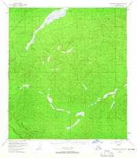
1949 · Tanacross B-3
USGS Topo · 1:63,360
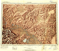
1950 · Tanacross
USGS Topo · 1:250,000
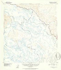
1952 · Tanacross A-3
USGS Topo · 1:63,360
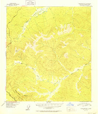
1952 · Tanacross B-3
USGS Topo · 1:63,360
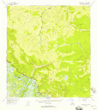
1954 · Tanacross A-2
USGS Topo · 1:63,360
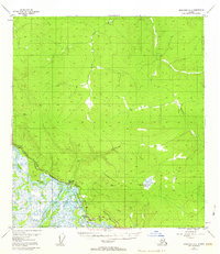
1955 · Tanacross A-2
USGS Topo · 1:63,360
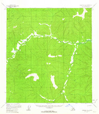
1956 · Tanacross B-2
USGS Topo · 1:63,360