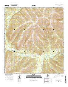
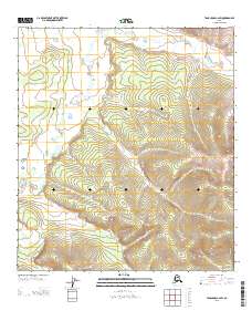
2015 Map of Tanacross B-2 NE
USGS Topo · Published 2015About this map
The Ladue River winds through the northern reaches of the Tanacross region, shaping a complex drainage system in this interior Alaskan landscape. This 2015 survey reveals the river’s meandering course as it cuts across township lines, joined from the south by the S Fork Ladue River. The terrain is defined by the elevation contours of the Tanacross B-2 NE quadrangle, where the hydrological network serves as the primary geographical marker across several townships, including t20n r19e, t19n r20e, and t18n r20e. The absence of developed roads or named settlements underscores the isolation of this river valley, making it a critical reference for understanding the natural drainage patterns and topographical relief of the Southeast Fairbanks area before further modern development or environmental shifts.
Find a feature on this map
8 named features on this map. Tap any name to fly to it.
Don’t see what you’re looking for? This feature index may not catch every label — zoom into the map to look around manually.
Map Details
Editions of this 2015 Tanacross B-2 NE Map
This is the sole edition of this map. No revisions or reprints were ever made.
Other maps of this area

1949 · Tanacross
USGS Topo · 1:250,000

1950 · Tanacross
USGS Topo · 1:250,000

1956 · Tanacross C-1
USGS Topo · 1:63,360
1956 · Tanacross B-1
USGS Topo · 1:63,360

1956 · Tanacross C-2
USGS Topo · 1:63,360
1956 · Tanacross B-2
USGS Topo · 1:63,360

1956 · Tanacross
USGS Topo · 1:250,000

1964 · Tanacross
USGS Topo · 1:250,000
2013 · Tanacross C-2 SE
USGS Topo · 1:25,000
2013 · Tanacross C-2 SW
USGS Topo · 1:25,000