
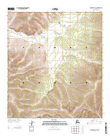
1956 Map of Tanacross C-1
USGS Topo · Published 1962About this map
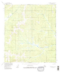
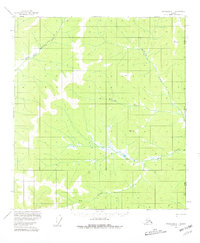
The Winter Trail cuts through the northern interior of this Alaskan frontier, following the winding valley of the East Fork Dennison Fork. This 1956 field-annotated survey captures a landscape defined by its watercourses and survey markers, long before significant modernization reached this portion of the Alaska-Yukon boundary. Remote outposts are noted simply by a Cabin near the confluence of Big Creek, indicating the sparse human presence in this region during the mid-20th century.
Find a feature on this map
9 named features on this map. Tap any name to fly to it.
Don’t see what you’re looking for? This feature index may not catch every label — zoom into the map to look around manually.
Map Details
Editions of this 1956 Tanacross C-1 Map
3 editions found
Other maps of this area

1949 · Tanacross
USGS Topo · 1:250,000

1950 · Tanacross
USGS Topo · 1:250,000

1956 · Tanacross D-2
USGS Topo · 1:63,360
1956 · Tanacross B-1
USGS Topo · 1:63,360

1956 · Tanacross C-2
USGS Topo · 1:63,360

1956 · Tanacross D-1
USGS Topo · 1:63,360
1956 · Tanacross B-2
USGS Topo · 1:63,360

1956 · Tanacross
USGS Topo · 1:250,000

1964 · Tanacross
USGS Topo · 1:250,000
2013 · Tanacross C-2 SE
USGS Topo · 1:25,000