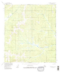
1956 Map of Tanacross C-1
USGS Topo · Published 1981About this map
The International Boundary between Alaska and the Yukon Territory defines the eastern edge of this mid-century survey, a region of high ridges and winding waterways. The landscape is oriented around the Dennison Fork East Fork in the northwest and the expansive drainage of Big Creek to the south. Human presence is sparse, marked primarily by a long Winter Trail cutting through the northern sections and a isolated Cabin located near a southern bend of Big Creek. This map, based on aerial photography from 1954 and 1957, documents the wilderness character of the Copper River Meridian before modern development. Notable high points like VABM 4007 Interior and VABM 3208 Timber serve as survey benchmarks across the drainage basins of McElfish Creek and McCord Creek.
Find a feature on this map
11 named features on this map. Tap any name to fly to it.
Don’t see what you’re looking for? This feature index may not catch every label — zoom into the map to look around manually.
Map Details
Editions of this 1956 Tanacross C-1 Map
3 editions found
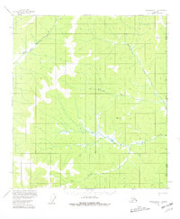
Other maps of this area

1949 · Tanacross
USGS Topo · 1:250,000

1950 · Tanacross
USGS Topo · 1:250,000

1956 · Tanacross C-1
USGS Topo · 1:63,360

1956 · Tanacross D-2
USGS Topo · 1:63,360
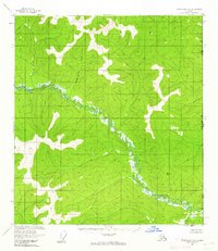
1956 · Tanacross B-1
USGS Topo · 1:63,360

1956 · Tanacross C-2
USGS Topo · 1:63,360

1956 · Tanacross D-1
USGS Topo · 1:63,360
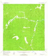
1956 · Tanacross B-2
USGS Topo · 1:63,360

1956 · Tanacross
USGS Topo · 1:250,000

1964 · Tanacross
USGS Topo · 1:250,000