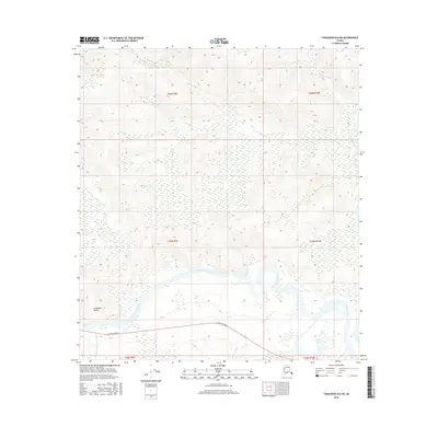
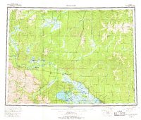
2016 Map of Tanacross B-6 NE
USGS Topo · Published 2016About this map
The Tanana River cuts through this interior landscape, defining the transition between the high northern uplands and the river valley floor. Along the southern bank, the Alaska Highway runs parallel to the waterway, serving as the primary corridor for movement through the region. This 2016 survey illustrates the persistent importance of this roadway in connecting remote stretches of the Unorganized Borough.
Find a feature on this map
14 named features on this map. Tap any name to fly to it.
Don’t see what you’re looking for? This feature index may not catch every label — zoom into the map to look around manually.
Map Details
Editions of this 2016 Tanacross B-6 NE Map
This is the sole edition of this map. No revisions or reprints were ever made.
Other maps of this area
1948 · Tanacross B-5
USGS Topo · 1:63,360

1949 · Tanacross
USGS Topo · 1:250,000
1949 · Tanacross B-6
USGS Topo · 1:63,360

1950 · Tanacross
USGS Topo · 1:250,000
1951 · Tanacross B-6
USGS Topo · 1:63,360
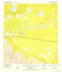
1952 · Tanacross B-5
USGS Topo · 1:63,360
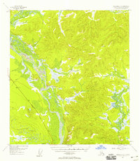
1954 · Tanacross C-6
USGS Topo · 1:63,360
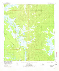
1955 · Tanacross C-6
USGS Topo · 1:63,360
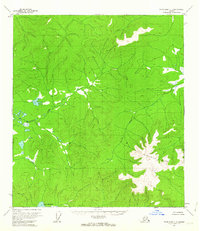
1956 · Tanacross C-5
USGS Topo · 1:63,360
1956 · Tanacross
USGS Topo · 1:250,000