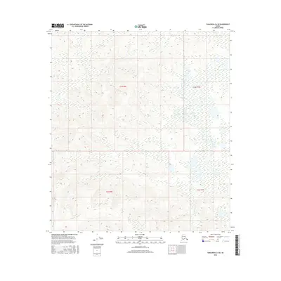
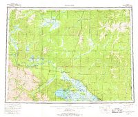
2016 Map of Tanacross C-6 SE
USGS Topo · Published 2016About this map
Mansfield Cr meanders through this interior Alaska landscape, defining the drainage patterns across a series of surveyed townships including t21n r9e and t20n r10e. The terrain is characterized by a dense network of wetlands and small water bodies that cluster in the lower elevations between subtle ridges. These topographic details, captured in 2016, illustrate the complex hydrology of the Unorganized Borough, where the lack of established roads or permanent settlements highlights the wilderness character of the region. This survey serves as a precise record of the natural surface features and Public Land Survey System boundaries before any potential future development or shifts in the permafrost-influenced landscape.
Find a feature on this map
5 named features on this map. Tap any name to fly to it.
Don’t see what you’re looking for? This feature index may not catch every label — zoom into the map to look around manually.
Map Details
Editions of this 2016 Tanacross C-6 SE Map
This is the sole edition of this map. No revisions or reprints were ever made.
Other maps of this area
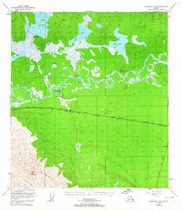
1948 · Tanacross B-5
USGS Topo · 1:63,360

1949 · Tanacross
USGS Topo · 1:250,000
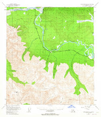
1949 · Tanacross B-6
USGS Topo · 1:63,360

1950 · Tanacross
USGS Topo · 1:250,000
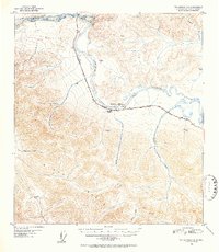
1951 · Tanacross B-6
USGS Topo · 1:63,360
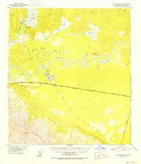
1952 · Tanacross B-5
USGS Topo · 1:63,360
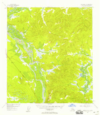
1954 · Tanacross C-6
USGS Topo · 1:63,360
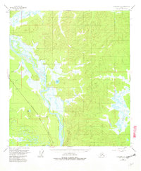
1955 · Tanacross C-6
USGS Topo · 1:63,360
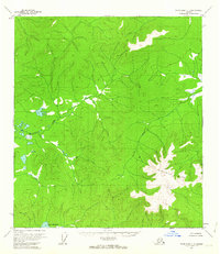
1956 · Tanacross C-5
USGS Topo · 1:63,360
1956 · Tanacross
USGS Topo · 1:250,000