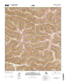
2013 Map of Tanacross D-1 NW
USGS Topo · Published 2013About this map
Dewey Cr flows through the northern reaches of this interior Alaskan landscape, which is defined by significant elevation changes across the T 26 N and T 25 N townships. The drainage patterns of both Dewey Creek and Liberty Creek illustrate the watershed of the Southeast Fairbanks region during the early twenty-first century. This 2013 survey is primarily a study of topography and hydrology, lacking the dense road networks or settlements common in more developed areas. Instead, the map highlights the natural contours of the land, showing where smaller tributaries and seasonal flows intersect the primary creek beds in an area characterized by its lack of human infrastructure.
Find a feature on this map
6 named features on this map. Tap any name to fly to it.
Don’t see what you’re looking for? This feature index may not catch every label — zoom into the map to look around manually.
Map Details
Editions of this 2013 Tanacross D-1 NW Map
This is the sole edition of this map. No revisions or reprints were ever made.
Other maps of this area

1899 · Fortymile
USGS Topo · 1:250,000

1949 · Tanacross
USGS Topo · 1:250,000

1950 · Tanacross
USGS Topo · 1:250,000

1951 · Eagle
USGS Topo · 1:250,000

1956 · Tanacross D-2
USGS Topo · 1:63,360

1956 · Tanacross D-1
USGS Topo · 1:63,360

1956 · Eagle A-1
USGS Topo · 1:63,360

1956 · Eagle A-2
USGS Topo · 1:63,360

1956 · Tanacross
USGS Topo · 1:250,000

1957 · Eagle
USGS Topo · 1:250,000