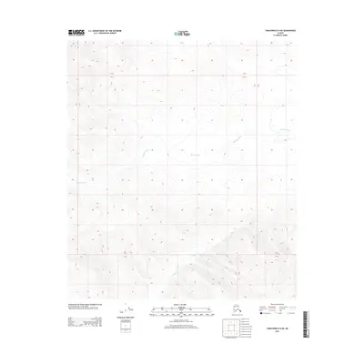
2013 Map of Tanacross D-6 NE
USGS Topo · Published 2013About this map
Mosquito Fork snakes through this high-latitude terrain within the Unorganized Borough, defining the central drainage pattern of this interior landscape. The winding course of the river, alongside the smaller Billy Cr to the south, illustrates the complex hydrology typical of the Tanacross region. This 2013 survey by the U. S. Geological Survey utilizes precise satellite imagery and elevation data to trace the subtle relief and drainage basins. The lack of roads or settlements on this sheet highlights the wilderness character of the area, where watercourses like the Mosquito Fork remain the primary geographical identifiers across the township and range lines.
Find a feature on this map
6 named features on this map. Tap any name to fly to it.
Don’t see what you’re looking for? This feature index may not catch every label — zoom into the map to look around manually.
Map Details
Editions of this 2013 Tanacross D-6 NE Map
This is the sole edition of this map. No revisions or reprints were ever made.
Other maps of this area

1949 · Tanacross
USGS Topo · 1:250,000

1950 · Tanacross
USGS Topo · 1:250,000

1951 · Eagle
USGS Topo · 1:250,000

1954 · Tanacross D-6
USGS Topo · 1:63,360
1955 · Tanacross D-6
USGS Topo · 1:63,360

1956 · Eagle A-5
USGS Topo · 1:63,360
1956 · Tanacross D-5
USGS Topo · 1:63,360

1956 · Eagle A-6
USGS Topo · 1:63,360

1956 · Tanacross
USGS Topo · 1:250,000

1957 · Eagle
USGS Topo · 1:250,000