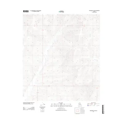
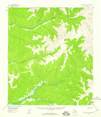
2013 Map of Tanacross D-6 NW
USGS Topo · Published 2013About this map
Mosquito Fork and Sand Cr define the hydrological character of this remote Alaskan interior landscape within the Unorganized Borough. This 2013 survey illustrates the dramatic elevation changes and drainage patterns that shape the upper Tanana River basin, showing how these waterways navigate the complex terrain. The map is primarily a study of topography and natural features, marked by significant township and range lines such as T 26 N and T 25 N. While devoid of named settlements or roads, the map serves as a precise record of the land's physical contours and the exact positioning of its primary watercourses in the early 21st century.
Find a feature on this map
7 named features on this map. Tap any name to fly to it.
Don’t see what you’re looking for? This feature index may not catch every label — zoom into the map to look around manually.
Map Details
Editions of this 2013 Tanacross D-6 NW Map
This is the sole edition of this map. No revisions or reprints were ever made.
Other maps of this area

1949 · Tanacross
USGS Topo · 1:250,000

1950 · Tanacross
USGS Topo · 1:250,000
1950 · Mount Hayes
USGS Topo · 1:250,000
1950 · Big Delta
USGS Topo · 1:250,000
1951 · Big Delta
USGS Topo · 1:250,000
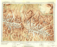
1951 · Mount Hayes
USGS Topo · 1:250,000
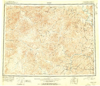
1951 · Eagle
USGS Topo · 1:250,000
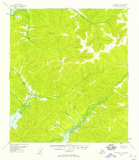
1954 · Mount Hayes D-1
USGS Topo · 1:63,360
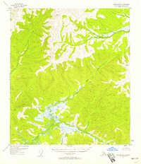
1954 · Tanacross D-6
USGS Topo · 1:63,360
1955 · Big Delta A-1
USGS Topo · 1:63,360