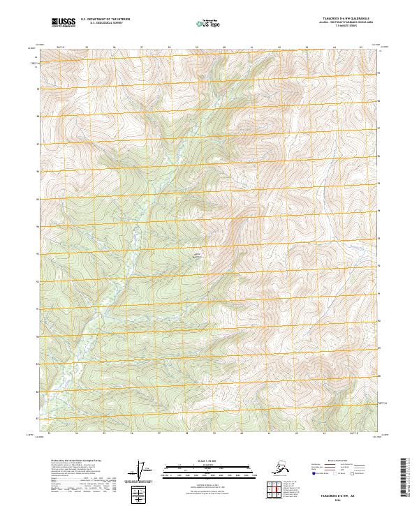
2024 Map of Tanacross D-6 NW
USGS Topo · Published 2024About this map
The Mertie Mountains dominate this region of Southeast Fairbanks, where the drainage systems of the interior Alaska wilderness dictate the landscape's character. The north-south corridor of Sand Creek carves a path through the western half of the quadrangle, while the Mosquito Fork flows through the eastern reaches. This area is defined by its topographic complexity rather than human infrastructure, as the map shows no roads or permanent settlements within these township boundaries. The 40-foot contour intervals reveal the steep gradients and high-altitude basins typical of this part of the Yukon River watershed, providing a clear view of the natural watercourses that have historically served as the primary transit routes for early explorers and indigenous peoples in the Alaska interior.
Find a feature on this map
9 named features on this map. Tap any name to fly to it.
Don’t see what you’re looking for? This feature index may not catch every label — zoom into the map to look around manually.
Map Details
Editions of this 2024 Tanacross D-6 NW Map
This is the sole edition of this map. No revisions or reprints were ever made.
Other maps of this area

1949 · Tanacross
USGS Topo · 1:250,000

1950 · Tanacross
USGS Topo · 1:250,000

1950 · Mount Hayes
USGS Topo · 1:250,000

1950 · Big Delta
USGS Topo · 1:250,000

1951 · Big Delta
USGS Topo · 1:250,000

1951 · Mount Hayes
USGS Topo · 1:250,000

1951 · Eagle
USGS Topo · 1:250,000

1954 · Mount Hayes D-1
USGS Topo · 1:63,360

1954 · Tanacross D-6
USGS Topo · 1:63,360

1955 · Big Delta A-1
USGS Topo · 1:63,360