
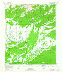
1952 Map of Tanana A-1
USGS Topo · Published 1956About this map
Eureka serves as a focal point in this interior Alaskan landscape, situated at the confluence of several gold-bearing waterways. The map reveals an extensive system of mining infrastructure, including the Pioneer Ditch and other unnamed hydraulic channels that diverted water across the hillsides to process Tailings. Evidence of earlier activity is marked by the presence of Glenn (Aband) near a dedicated Landing Area. North of the broad Bean Ridge, the terrain is defined by a dense network of drainages such as Hutlinana Creek and Baker Creek, which flow toward the wetland systems around Baker Lake and the Hot Springs Slough. The transit of the era is captured by the York Tractor Trail and a Proposed Highway Alignment, indicating a region in transition from remote mining outposts to more permanent infrastructure during the mid-20th century.
Find a feature on this map
40 named features on this map. Tap any name to fly to it.
Don’t see what you’re looking for? This feature index may not catch every label — zoom into the map to look around manually.
Map Details
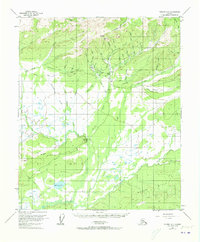
Editions of this 1952 Tanana A-1 Map
3 editions found
Other maps of this area

1945 · Livengood
USGS Topo · 1:250,000

1948 · Kantishna River
USGS Topo · 1:250,000

1950 · Fairbanks
USGS Topo · 1:250,000

1951 · Kantishna River
USGS Topo · 1:250,000

1951 · Fairbanks
USGS Topo · 1:250,000

1951 · Tanana
USGS Topo · 1:250,000

1951 · Livengood
USGS Topo · 1:250,000

1952 · Livengood A-6
USGS Topo · 1:63,360

1952 · Tanana A-2
USGS Topo · 1:63,360

1952 · Kantishna River
USGS Topo · 1:250,000