
1952 Map of Tanana A-4
USGS Topo · Published 1956About this map
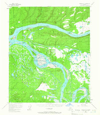
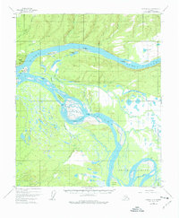
The confluence of the Yukon River and the Tanana River dominates this mid-century sub-arctic landscape, revealing a complex network of braids, sloughs, and islands. Near the western edge, Indian Village and Mission Hill stand as focal points of settlement, while a Native Cem is marked further south along the Tanana. The survey captures the transport realities of the era through several marked Tractor Trails that parallel the riverbanks, connecting remote sites like the Cabin near Sixteenmile Island. The intricate hydrology of the region is evident in the numerous namesake water bodies such as Twelvemile Lake and Eightmile Slough. Landmarks like Station Rock at Squaw Crossing indicate specific points of navigation or crossing in a terrain defined by shifting river channels and seasonal overflow areas like Hay Slough.
Find a feature on this map
36 named features on this map. Tap any name to fly to it.
Don’t see what you’re looking for? This feature index may not catch every label — zoom into the map to look around manually.
Map Details
Editions of this 1952 Tanana A-4 Map
3 editions found
Other maps of this area

1948 · Kantishna River
USGS Topo · 1:250,000

1951 · Kantishna River
USGS Topo · 1:250,000

1951 · Tanana
USGS Topo · 1:250,000

1952 · Tanana A-3
USGS Topo · 1:63,360

1952 · Kantishna River D-5
USGS Topo · 1:63,360

1952 · Kantishna River
USGS Topo · 1:250,000

1952 · Tanana A-5
USGS Topo · 1:63,360

1952 · Kantishna River D-3
USGS Topo · 1:63,360
1953 · Kantishna River D-5
USGS Topo · 1:63,360

1953 · Tanana A-3
USGS Topo · 1:63,360