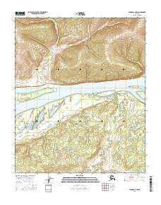
2016 Map of Tanana A-6 NW
USGS Topo · Published 2016About this map
Yukon River waters dominate this interior Alaskan landscape, serving as the central geographic feature of the Tanana region. The settlement of Grant Creek sits on the northern bank, positioned near the mouth of its namesake Grant Creek. This area is defined by the complex hydrology of the river valley, where the main channel is braided with features like Darvin Island and Swanson Slough. To the south of the river, the terrain flattens into a network of wetlands and wandering watercourses, most notably the Blind River. This 2016 survey illustrates the remote character of the Yukon-Koyukuk region, where life and travel remain closely tied to the seasonal cycles of the river system and its various tributaries such as Windy Creek and Monday Creek.
Find a feature on this map
15 named features on this map. Tap any name to fly to it.
Don’t see what you’re looking for? This feature index may not catch every label — zoom into the map to look around manually.
Map Details
Editions of this 2016 Tanana A-6 NW Map
This is the sole edition of this map. No revisions or reprints were ever made.
Other maps of this area

1951 · Melozitna
USGS Topo · 1:250,000

1951 · Tanana
USGS Topo · 1:250,000

1952 · Tanana A-6
USGS Topo · 1:63,360

1952 · Melozitna A-1
USGS Topo · 1:63,360

1956 · Melozitna B-1
USGS Topo · 1:63,360

1956 · Tanana B-6
USGS Topo · 1:63,360

1956 · Melozitna
USGS Topo · 1:250,000

1956 · Tanana
USGS Topo · 1:250,000

1960 · Tanana
USGS Topo · 1:250,000
2016 · Tanana B-6 SW
USGS Topo · 1:25,000