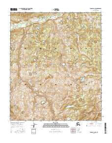
2016 Map of Tanana A-6 SW
USGS Topo · Published 2016About this map
Blind River and the Atutsak River define the drainage patterns across this interior Alaskan landscape. Situated within the Yukon-Koyukuk region, the terrain is characterized by a dense network of wetlands and small water bodies that underscore the hydrologic complexity of the Tanana region. The map reflects a purely natural environment, devoid of established settlements or infrastructure, illustrating the undisturbed character of the subarctic wilderness. Careful surveying by the U.S. Geological Survey reveals the subtle topographic variations and the shifting courses of these northern rivers as they wind through the expansive flats, providing an essential record for those studying the geomorphology of the Alaskan interior.
Find a feature on this map
8 named features on this map. Tap any name to fly to it.
Don’t see what you’re looking for? This feature index may not catch every label — zoom into the map to look around manually.
Map Details
Editions of this 2016 Tanana A-6 SW Map
This is the sole edition of this map. No revisions or reprints were ever made.
Other maps of this area

1948 · Kantishna River
USGS Topo · 1:250,000

1951 · Kantishna River
USGS Topo · 1:250,000

1951 · Ruby
USGS Topo · 1:250,000

1951 · Melozitna
USGS Topo · 1:250,000

1951 · Tanana
USGS Topo · 1:250,000

1952 · Ruby D-1
USGS Topo · 1:63,360

1952 · Kantishna River
USGS Topo · 1:250,000

1952 · Tanana A-6
USGS Topo · 1:63,360

1952 · Kantishna River D-6
USGS Topo · 1:63,360

1952 · Ruby
USGS Topo · 1:250,000