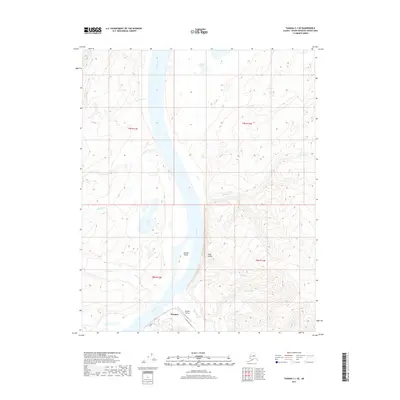
2017 Map of Tanana C-1 SE
USGS Topo · Published 2017About this map
Rampart serves as the primary focal point of this Alaskan interior landscape, situated along the southern banks of the mighty Yukon River. The settlement is supported by the Rampart Airport and connected to the surrounding wilderness via Minook Creek Road, which follows the path of Minook Cr. The geography is defined by the winding river channel and the presence of Minook Island, where the water transitions into a complex system of drainages including Argo Gulch and Julia Cr.
Find a feature on this map
21 named features on this map. Tap any name to fly to it.
Don’t see what you’re looking for? This feature index may not catch every label — zoom into the map to look around manually.
Map Details
Editions of this 2017 Tanana C-1 SE Map
This is the sole edition of this map. No revisions or reprints were ever made.
Other maps of this area

1945 · Livengood
USGS Topo · 1:250,000

1951 · Tanana
USGS Topo · 1:250,000

1951 · Livengood
USGS Topo · 1:250,000

1956 · Tanana B-1
USGS Topo · 1:63,360

1956 · Tanana C-1
USGS Topo · 1:63,360

1956 · Livengood B-6
USGS Topo · 1:63,360

1956 · Livengood C-6
USGS Topo · 1:63,360

1956 · Livengood
USGS Topo · 1:250,000

1956 · Tanana
USGS Topo · 1:250,000

1960 · Tanana
USGS Topo · 1:250,000