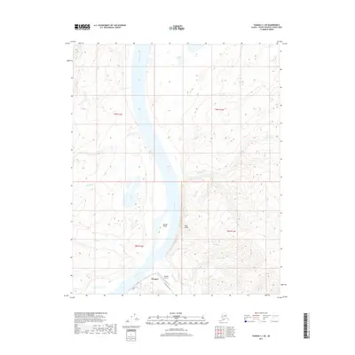
2017 Map of Tanana C-1 SE
USGS Topo · Published 2017This historical map portrays the area of Tanana C-1 SE in 2017, primarily covering Rampart. Featuring a scale of 1:25,000, this map provides a highly detailed snapshot of the terrain, roads, buildings, counties, and historical landmarks in the Tanana C-1 SE region at the time. Published in 2017, it is the sole known edition of this map.
Map Details
Editions of this 2017 Tanana C-1 SE Map
This is the sole edition of this map. No revisions or reprints were ever made.
Other maps of this area

1945 · Livengood
USGS Topo · 1:250,000

1951 · Tanana
USGS Topo · 1:250,000

1951 · Livengood
USGS Topo · 1:250,000

1956 · Tanana B-1
USGS Topo · 1:63,360

1956 · Tanana C-1
USGS Topo · 1:63,360

1956 · Livengood B-6
USGS Topo · 1:63,360

1956 · Livengood C-6
USGS Topo · 1:63,360

1956 · Livengood
USGS Topo · 1:250,000

1956 · Tanana
USGS Topo · 1:250,000

1960 · Tanana
USGS Topo · 1:250,000