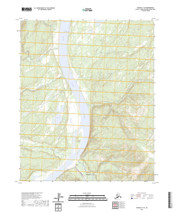
2023 Map of Tanana C-1 SE
USGS Topo · Published 2023About this map
The settlement of Rampart sits at a critical junction of the Yukon River and Minook Creek, serving as a remote outpost in the Alaska interior. This survey details the complex hydrography of the region, where the river divides around Minook Island and is fed by a network of steep drainages such as Argo Gulch and Sarah Creek. The presence of the Rampart Airport and local thoroughfares like 2nd Avenue and Minook Creek Road highlights the essential transportation infrastructure required for this isolated community. Further north, the landscape transitions into a series of water bodies including Chicago Lakes and Lush Lake, illustrating the varied terrain of the Yukon-Koyukuk region. The map provides a clear record of the area's physical geography and minimal human footprint in the twenty-first century.
Find a feature on this map
18 named features on this map. Tap any name to fly to it.
Don’t see what you’re looking for? This feature index may not catch every label — zoom into the map to look around manually.
Map Details
Editions of this 2023 Tanana C-1 SE Map
This is the sole edition of this map. No revisions or reprints were ever made.
Other maps of this area

1945 · Livengood
USGS Topo · 1:250,000

1951 · Tanana
USGS Topo · 1:250,000

1951 · Livengood
USGS Topo · 1:250,000

1956 · Tanana B-1
USGS Topo · 1:63,360

1956 · Tanana C-1
USGS Topo · 1:63,360

1956 · Livengood B-6
USGS Topo · 1:63,360

1956 · Livengood C-6
USGS Topo · 1:63,360

1956 · Livengood
USGS Topo · 1:250,000

1956 · Tanana
USGS Topo · 1:250,000

1960 · Tanana
USGS Topo · 1:250,000