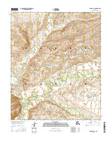
2016 Map of Tanana C-5 SE
USGS Topo · Published 2016About this map
Tozitna River meanders across the southern landscape of this 2016 survey, defining the drainage patterns of this interior Alaskan wilderness. The terrain is a network of ridges and drainages where smaller tributaries like Banddana Cr and Crooked Cr flow from higher elevations toward the primary river valley. Topographic detail reveals the complex hydrology of the region, including the paths of Ptarmigan Cr and Digislakhna Creek through the subarctic environment. This map captures the undeveloped character of the Yukon-Koyukuk region, documented by the U.S. Geological Survey using modern digital standards to chart remote water bodies and relief patterns that remain largely untouched by human infrastructure or settlement.
Find a feature on this map
10 named features on this map. Tap any name to fly to it.
Don’t see what you’re looking for? This feature index may not catch every label — zoom into the map to look around manually.
Map Details
Editions of this 2016 Tanana C-5 SE Map
This is the sole edition of this map. No revisions or reprints were ever made.
Other maps of this area

1951 · Tanana
USGS Topo · 1:250,000

1956 · Tanana B-5
USGS Topo · 1:63,360

1956 · Tanana C-5
USGS Topo · 1:63,360

1956 · Tanana C-4
USGS Topo · 1:63,360

1956 · Tanana B-4
USGS Topo · 1:63,360

1956 · Tanana
USGS Topo · 1:250,000

1960 · Tanana
USGS Topo · 1:250,000
2016 · Tanana C-4 NW
USGS Topo · 1:25,000
2016 · Tanana B-5 NE
USGS Topo · 1:25,000
2016 · Tanana B-5 NW
USGS Topo · 1:25,000