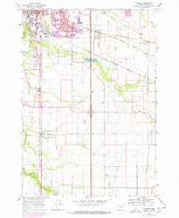
1969 Map of Tangent
USGS Topo · Published 1978About this map
The Albany urban corridor and the agricultural plains of Linn County intersect in this late 1960s study, showcasing a landscape defined by water management and transit. The Albany Santiam Canal and Periwinkle Creek cut through the northern half of the map, supporting the expansion of the city as shown by the growth surrounding Albany Union HS and Lafayette Sch. Further south, the settlement of Tangent serves as a rural hub, its namesake Tangent Sch and the Southern Pacific railroad line anchoring the local community.
Find a feature on this map
37 named features on this map. Tap any name to fly to it.
Don’t see what you’re looking for? This feature index may not catch every label — zoom into the map to look around manually.
Map Details
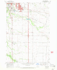
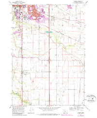
Editions of this 1969 Tangent Map
3 editions found
Other maps of this area

1911 · Brownsville
USGS Topo · 1:31,680

1911 · Lebanon
USGS Topo · 1:31,680

1911 · Tangent
USGS Topo · 1:31,680

1912 · Jefferson
USGS Topo · 1:31,680

1912 · Halsey
USGS Topo · 1:62,500

1913 · Oakville
USGS Topo · 1:31,680

1913 · Wells
USGS Topo · 1:31,680

1916 · Albany
USGS Topo · 1:62,500

1921 · Brownsville
USGS Topo · 1:62,500

1921 · Lebanon
USGS Topo · 1:62,500