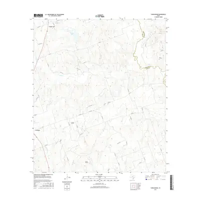
2016 Map of Tanglewood
USGS Topo · Published 2016About this map
Lexington and Tanglewood anchor this survey of the Lee County countryside, where the landscape is defined by the winding course of E Yegua Cr and its many tributaries. The area is characterized by a high density of small rural burial grounds, including German Cem, Lyles Cem, and Prospect Cem, providing valuable points of reference for genealogists tracing family histories in these settlements. The terrain transitions from the elevations of Marsh Hollow to the wetlands surrounding Footprints Lake and Sand Lake, illustrating the varied drainage patterns of the Brazos River basin. A network of country roads, such as FM 696 and Co RD 411, connects these agricultural outposts and the Lexington Airfield, reflecting a community structure built around small-town hubs and widely dispersed family homesteads.
Find a feature on this map
51 named features on this map. Tap any name to fly to it.
Don’t see what you’re looking for? This feature index may not catch every label — zoom into the map to look around manually.
Map Details
Editions of this 2016 Tanglewood Map
This is the sole edition of this map. No revisions or reprints were ever made.
Other maps of this area
1885 · Taylor
USGS Topo · 1:125,000
1885 · Bastrop
USGS Topo · 1:125,000
1887 · Taylor
USGS Topo · 1:125,000
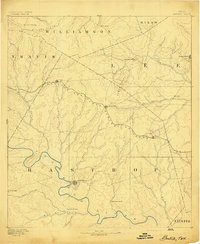
1893 · Bastrop
USGS Topo · 1:125,000
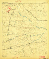
1894 · Taylor
USGS Topo · 1:125,000
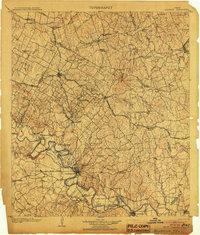
1904 · Bastrop
USGS Topo · 1:125,000
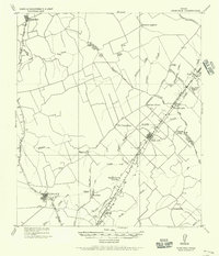
1919 · Dime Box
USGS Topo · 1:62,500
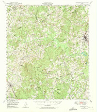
1948 · Lexington
USGS Topo · 1:62,500
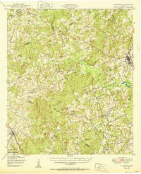
1950 · Lexington
USGS Topo · 1:62,500

1954 · Austin
USGS Topo · 1:250,000