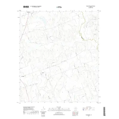
2019 Map of Tanglewood
USGS Topo · Published 2019About this map
Lexington and Tanglewood anchor this study of the Lee County landscape, where the agricultural and rural character of the region is traced through a dense network of local roads and creek drainages. The area is defined by its watercourses, notably Brushy Cr and Yegua Cr, which carve through the terrain alongside numerous named branches like Indian Camp Br and Warsaw Br. For genealogists and local historians, several small burial grounds are documented, including Mount Zion Cem, Prospect Cem, and German Cem, indicating the scattered settlement patterns of the early 21st century. The presence of the Lexington Airfield near the center of the sheet highlights the transition from traditional farming tracts to modern infrastructure, while the eastern boundary follows the meandering line between Burleson and Lee counties near Sand Lake.
Find a feature on this map
51 named features on this map. Tap any name to fly to it.
Don’t see what you’re looking for? This feature index may not catch every label — zoom into the map to look around manually.
Map Details
Editions of this 2019 Tanglewood Map
This is the sole edition of this map. No revisions or reprints were ever made.
Other maps of this area
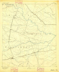
1885 · Taylor
USGS Topo · 1:125,000
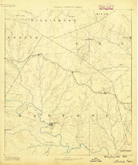
1885 · Bastrop
USGS Topo · 1:125,000
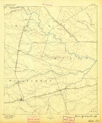
1887 · Taylor
USGS Topo · 1:125,000
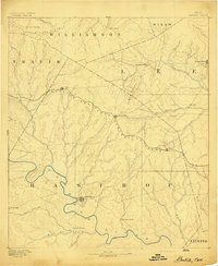
1893 · Bastrop
USGS Topo · 1:125,000
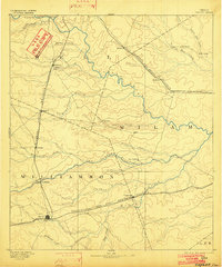
1894 · Taylor
USGS Topo · 1:125,000
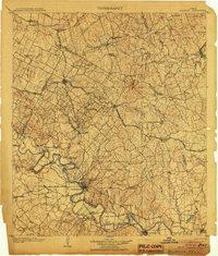
1904 · Bastrop
USGS Topo · 1:125,000
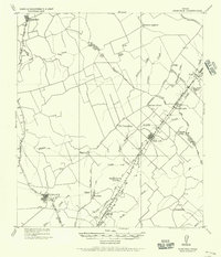
1919 · Dime Box
USGS Topo · 1:62,500
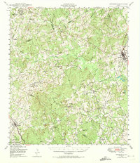
1948 · Lexington
USGS Topo · 1:62,500
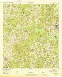
1950 · Lexington
USGS Topo · 1:62,500

1954 · Austin
USGS Topo · 1:250,000