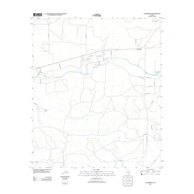
2013 Map of Tankersley
USGS Topo · Published 2013About this map
Tankersley and its surrounding ranch lands define this portion of Tom Green County, where water resources are central to the landscape's organization. The winding course of Spring Cr feeds several local impoundments including Ball Reservoir, Metcalfes Spring Cr Reservoir, and Rust Reservoir, while the southern reaches are drained by the meandering Dove Cr. Large family-named landholdings like Bryant Ranch, Hughes Ranch, and Tweedy Ranch reflect a pattern of extensive pastoral use characteristic of the region.
Find a feature on this map
44 named features on this map. Tap any name to fly to it.
Don’t see what you’re looking for? This feature index may not catch every label — zoom into the map to look around manually.
Map Details
Editions of this 2013 Tankersley Map
This is the sole edition of this map. No revisions or reprints were ever made.
Other maps of this area

1895 · Sherwood
USGS Topo · 1:125,000

1924 · Sherwood 1-d
USGS Topo · 1:48,000

1924 · Sherwood 1-a
USGS Topo · 1:48,000

1928 · Tankersly
USGS Topo · 1:62,500

1954 · San Angelo
USGS Topo · 1:250,000

1957 · Twin Buttes
USGS Topo · 1:24,000

1957 · Knickerbocker
USGS Topo · 1:62,500

1958 · San Angelo
USGS Topo · 1:250,000

1965 · San Angelo
USGS Topo · 1:250,000

1972 · Arden
USGS Topo · 1:24,000