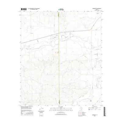
2016 Map of Tankersley
USGS Topo · Published 2016About this map
The county boundary between Irion Co and Tom Green Co bisects this landscape of West Texas rangeland and managed water. Ranching and rural aviation define the area's development, anchored in the southeast by Hunter's Creek Airport and a network of local roads such as Tweedy Rd and Guinn Rd. The land is dotted with vital water management features, including Metcalfe Spring Cr Reservoir and Ball Reservoir in the north, while Byler Spring and the drainage of Dove Cr mark the southern reaches. These reservoirs and springs are central to the region's agricultural utility. Transport is facilitated by Farm to Market roads like S Fm 2335 and Fm 2166, which connect scattered homesteads and private lands across the rolling terrain.
Find a feature on this map
35 named features on this map. Tap any name to fly to it.
Don’t see what you’re looking for? This feature index may not catch every label — zoom into the map to look around manually.
Map Details
Editions of this 2016 Tankersley Map
This is the sole edition of this map. No revisions or reprints were ever made.
Other maps of this area
1895 · Sherwood
USGS Topo · 1:125,000
1924 · Sherwood 1-d
USGS Topo · 1:48,000
1924 · Sherwood 1-a
USGS Topo · 1:48,000
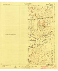
1928 · Tankersly
USGS Topo · 1:62,500
1954 · San Angelo
USGS Topo · 1:250,000
1957 · Twin Buttes
USGS Topo · 1:24,000
1957 · Knickerbocker
USGS Topo · 1:62,500
1958 · San Angelo
USGS Topo · 1:250,000
1965 · San Angelo
USGS Topo · 1:250,000
1972 · Arden
USGS Topo · 1:24,000