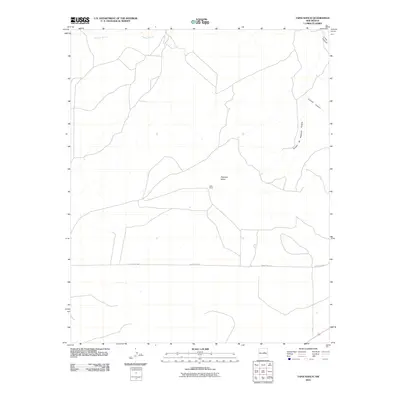
2010 Map of Tapia Ranch
USGS Topo · Published 2010About this map
Tapia Ranch sits at the heart of this high-plateau landscape in Guadalupe County, where the ranching economy is shaped by significant topographic barriers and seasonal drainages. The area is dominated by the broad expanse of Argonne Mesa, which provides a high vantage over the surrounding territory. To the east, the terrain breaks into complex canyon systems, including the steep-walled Collins Canyon and Little Canyon. The natural drainage of Pintada Arroyo cuts across the northern reaches, while the southeastern corner is marked by the distinct geographical feature of Rincon de Rosendo Padilla. Transport through this sparse territory is largely defined by the linear path of County Rd-4ck, which provides essential access for the remote ranching operations characteristic of this region in the early 21st century.
Find a feature on this map
8 named features on this map. Tap any name to fly to it.
Don’t see what you’re looking for? This feature index may not catch every label — zoom into the map to look around manually.
Map Details
Editions of this 2010 Tapia Ranch Map
This is the sole edition of this map. No revisions or reprints were ever made.
Other maps of this area

1954 · Fort Sumner
USGS Topo · 1:250,000

1958 · Fort Sumner
USGS Topo · 1:250,000
1978 · George Ranch
USGS Topo · 1:24,000

1978 · Mesa Leon
USGS Topo · 1:24,000
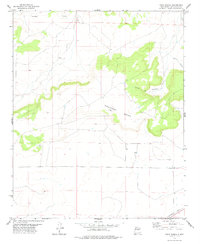
1978 · Tapia Ranch
USGS Topo · 1:24,000
1978 · Pintada
USGS Topo · 1:24,000
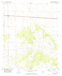
1978 · San Ignacio
USGS Topo · 1:24,000
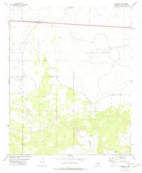
1978 · Milagro
USGS Topo · 1:24,000
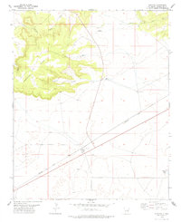
1978 · Pastura
USGS Topo · 1:24,000

1978 · El Morro Ranch NW
USGS Topo · 1:24,000