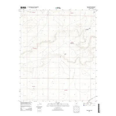
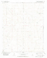
2013 Map of Tapia Ranch
USGS Topo · Published 2013About this map
Tapia Ranch sits at the heart of this Guadalupe County landscape, where the high desert terrain is defined by dramatic escarpments and named canyons. The northern portion of the map is dominated by the winding course of the Pintada Arroyo and the narrow corridor of Little Canyon. To the east, the topography rises toward Argonne Mesa and the complex landforms of Rincon de Rosendo Padilla. Historical land use in this part of New Mexico is reflected in the naming of features like Collins Canyon, while modern transit is facilitated by routes such as Us-54 N and CO Road 4ck. This map provides a clear view of the ranching corridors and natural drainage systems that have shaped the region's development into the early 21st century.
Find a feature on this map
16 named features on this map. Tap any name to fly to it.
Don’t see what you’re looking for? This feature index may not catch every label — zoom into the map to look around manually.
Map Details
Editions of this 2013 Tapia Ranch Map
This is the sole edition of this map. No revisions or reprints were ever made.
Other maps of this area

1954 · Fort Sumner
USGS Topo · 1:250,000

1958 · Fort Sumner
USGS Topo · 1:250,000
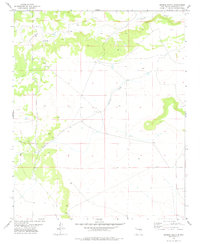
1978 · George Ranch
USGS Topo · 1:24,000
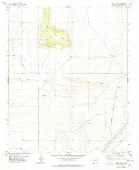
1978 · Mesa Leon
USGS Topo · 1:24,000
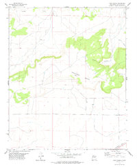
1978 · Tapia Ranch
USGS Topo · 1:24,000
1978 · Pintada
USGS Topo · 1:24,000
1978 · San Ignacio
USGS Topo · 1:24,000
1978 · Milagro
USGS Topo · 1:24,000
1978 · Pastura
USGS Topo · 1:24,000
1978 · El Morro Ranch NW
USGS Topo · 1:24,000