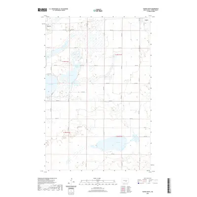
2020 Map of Tappen South
USGS Topo · Published 2020About this map
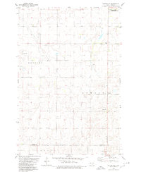
Glacial prairie potholes and seasonal wetlands define this landscape south of the Northern Pacific Railway corridor in Kidder County. Dawson and the southwestern corner of Tappen anchor the northern edge of the map, serving as gateways to a terrain dominated by significant water bodies. Large basins including Lake Isabel, Harker Lake, and Upper Harker Lake cluster in the west, while Lake Henry occupies a prominent depression in the southeast. For genealogists and local historians, the sheet preserves the locations of the Dawson Cem and the more remote Koestler Cem, offering precise spatial context for early settlements in these townships. The section-line road network, including routes like 38th St SE and 43rd St SE, illustrates the persistent grid of the Public Land Survey System across the undulating plains.
Find a feature on this map
24 named features on this map. Tap any name to fly to it.
Don’t see what you’re looking for? This feature index may not catch every label — zoom into the map to look around manually.
Map Details
Editions of this 2020 Tappen South Map
This is the sole edition of this map. No revisions or reprints were ever made.
Other maps of this area
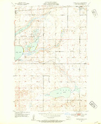
1952 · Tappen South
USGS Topo · 1:24,000
1952 · Tappen SE
USGS Topo · 1:24,000
1952 · Tappen NE
USGS Topo · 1:24,000
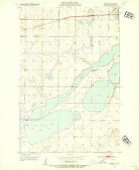
1952 · Dawson
USGS Topo · 1:24,000
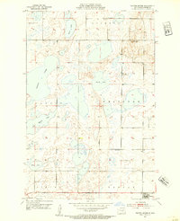
1952 · Tappen North
USGS Topo · 1:24,000
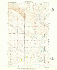
1952 · Steele NE
USGS Topo · 1:24,000

1953 · Jamestown
USGS Topo · 1:250,000

1956 · Jamestown
USGS Topo · 1:250,000
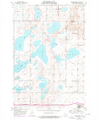
1975 · Tappen North
USGS Topo · 1:24,000
1979 · Kintyre NE
USGS Topo · 1:24,000