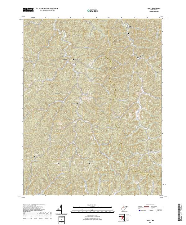
2023 Map of Tariff
USGS Topo · Published 2023About this map
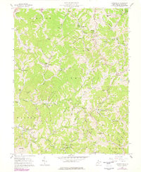
Linden and the small settlements of Milo and Oka anchor this rural landscape along the Roane and Calhoun County line. The terrain is defined by an intricate network of narrow valleys and ridges, where the Henry Fork and its numerous tributaries like Sycamore Fork, Looney Fork, and Hollywood Run have carved out the local geography. This drainage pattern dictates the placement of winding country roads such as Tariff Rd and Co Rte 25, which follow the natural contours of the land.
Find a feature on this map
79 named features on this map. Tap any name to fly to it.
Don’t see what you’re looking for? This feature index may not catch every label — zoom into the map to look around manually.
Map Details
Editions of this 2023 Tariff Map
This is the sole edition of this map. No revisions or reprints were ever made.
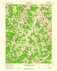
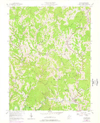
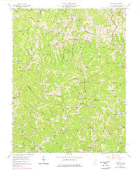
Historical Maps of Roane County Through Time
18 maps found

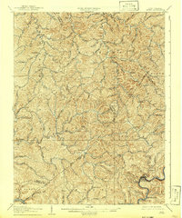
1906 Otter
Roane County, WV

1906 Walton
Roane County, WV
1907 Otter
Roane County, WV
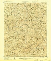
1907 Walton
Roane County, WV
1957 Clio
Roane County, WV
1957 Looneyville
Roane County, WV
1957 Peniel
Roane County, WV
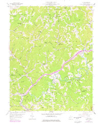
1957 Walton
Roane County, WV
1958 Kettle
Roane County, WV
1966 Newton
Roane County, WV

1966 Tariff
Roane County, WV
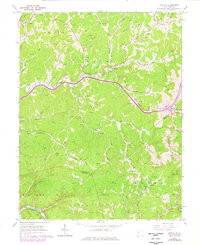
2023 Clio
Roane County, WV
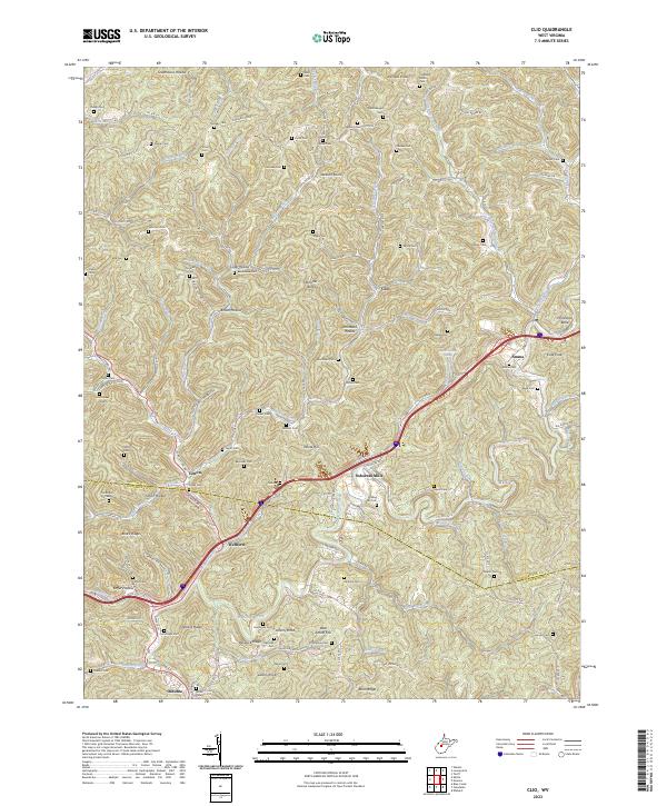
2023 Kettle
Roane County, WV
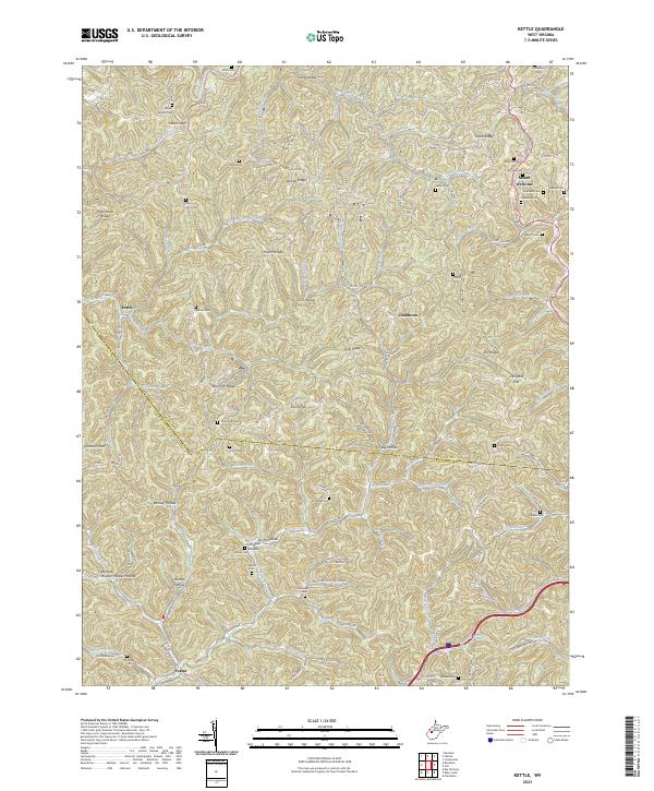
2023 Looneyville
Roane County, WV

2023 Newton
Roane County, WV
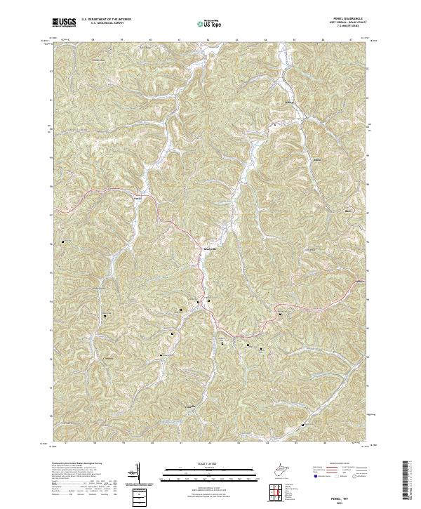
2023 Peniel
Roane County, WV
2023 Tariff
Roane County, WV
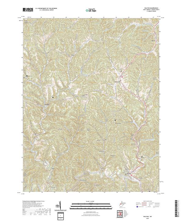
2023 Walton
Roane County, WV