
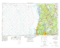
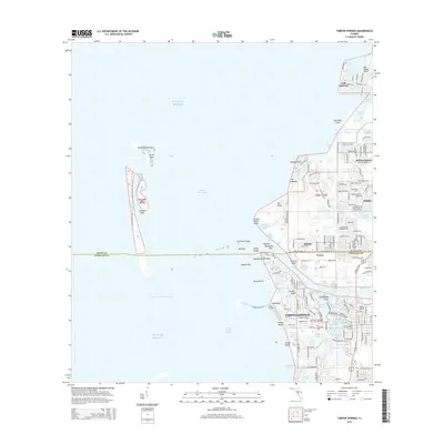
1955 Map of Tarpon Springs
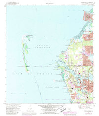
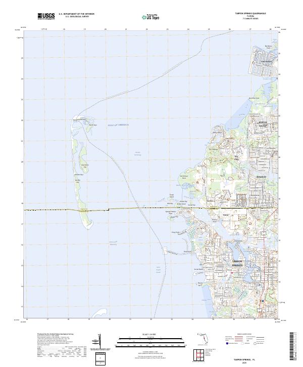
USGS Topo · Published 1978About this map
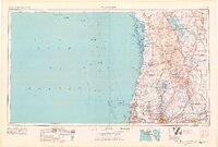
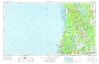
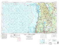
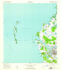
Tarpon Springs and the surrounding Nature Coast are defined by a complex labyrinth of freshwater springs and tidal estuaries. This mid-century survey illustrates the intricate drainage systems of the Withlacoochee River and the sprawling Lake Tsala Apopka basin, which historically dictated the settlement patterns of towns like Inverness and Floral City. The transition from the Gulf of Mexico's bathymetry, featuring the St Martins Keys and Anclote Keys, to the interior pinelands shows a landscape in balance between conservation and growth.
Find a feature on this map
181 named features on this map. Tap any name to fly to it.
Don’t see what you’re looking for? This feature index may not catch every label — zoom into the map to look around manually.
Map Details
Editions of this 1955 Tarpon Springs Map
6 editions found

Historical Maps of Tampa Through Time
11 maps found
1943 Tarpon Springs
Pinellas County, FL
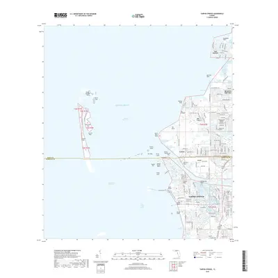
1955 Tarpon Springs
Pinellas County, FL
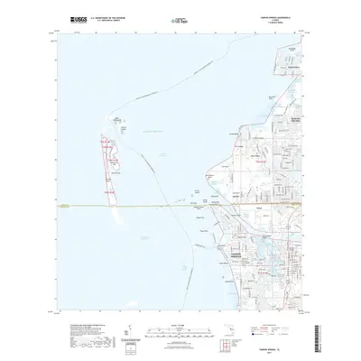
1973 Tarpon Springs
Pinellas County, FL

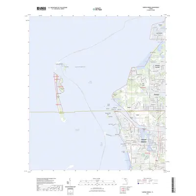
1978 Tarpon Springs
Pinellas County, FL
1995 Tarpon Springs
Pinellas County, FL
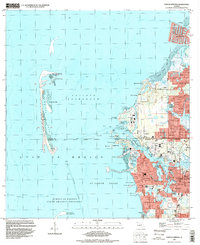
2012 Tarpon Springs
Pinellas County, FL
2015 Tarpon Springs
Pinellas County, FL
2018 Tarpon Springs
Pinellas County, FL
2021 Tarpon Springs
Pinellas County, FL
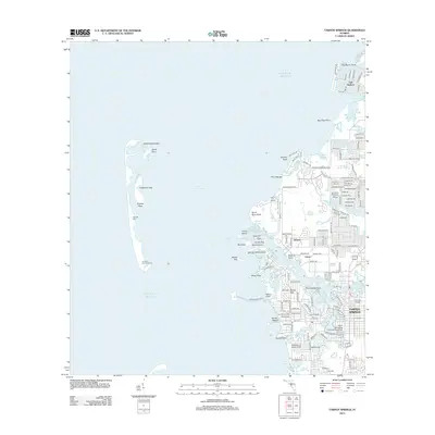
2024 Tarpon Springs
Pinellas County, FL
2025 Tarpon Springs
Pinellas County, FL