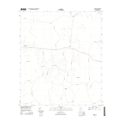
2014 Map of Tarver
USGS Topo · Published 2014About this map
Statenville serves as a primary western anchor in this rural Georgia landscape, where the Ga-94 corridor connects isolated settlements like Tarver and Alexis. The terrain is defined by low-lying wetlands and islands, most notably Buzzard Island and Whiskey Island, which sit amidst a network of slow-moving waters such as Alligator Cr and Toms Cr. The survey reveals a complex web of named rural routes, including Gradley Break Rd and Collier Field Rd, which suggest localized land use and agricultural patterns in this portion of Echols County. Towards the south, the settlement of Potter marks a crossroads near Alexander Rd, illustrating the dispersed residential character of the region. This 21st-century documentation provides a clear view of how traditional names like Sandy Ford Rd and Harrison Pond Rd persist in the modern infrastructure.
Find a feature on this map
30 named features on this map. Tap any name to fly to it.
Don’t see what you’re looking for? This feature index may not catch every label — zoom into the map to look around manually.
Map Details
Editions of this 2014 Tarver Map
This is the sole edition of this map. No revisions or reprints were ever made.
Other maps of this area

1954 · Valdosta
USGS Topo · 1:250,000
1955 · Jasper
USGS Topo · 1:24,000
1955 · Cypress Creek
USGS Topo · 1:24,000
1956 · Jennings
USGS Topo · 1:24,000
1958 · Valdosta
USGS Topo · 1:250,000
1959 · Valdosta
USGS Topo · 1:250,000
1971 · Thelma
USGS Topo · 1:24,000
1971 · Howell
USGS Topo · 1:24,000
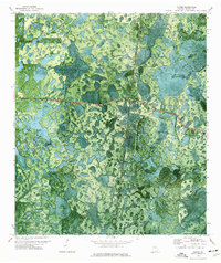
1971 · Tarver
USGS Topo · 1:24,000
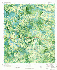
1971 · Pineland
USGS Topo · 1:24,000