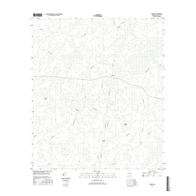
2017 Map of Tarver
USGS Topo · Published 2017About this map
The low-lying wetlands of Echols County define this landscape, where the settlement of Tarver sits at a crossroads near the center of the survey. This 2017 study illustrates a distinctive network of "bays" — swampy depressions common to the coastal plain — such as Beaverdam Bay, Simmons Bay, and Fiftythree Bay. These features, along with the meandering courses of Alligator Creek and Toms Creek, dominate the geography.
Find a feature on this map
38 named features on this map. Tap any name to fly to it.
Don’t see what you’re looking for? This feature index may not catch every label — zoom into the map to look around manually.
Map Details
Editions of this 2017 Tarver Map
This is the sole edition of this map. No revisions or reprints were ever made.
Other maps of this area

1954 · Valdosta
USGS Topo · 1:250,000
1955 · Jasper
USGS Topo · 1:24,000
1955 · Cypress Creek
USGS Topo · 1:24,000
1956 · Jennings
USGS Topo · 1:24,000
1958 · Valdosta
USGS Topo · 1:250,000
1959 · Valdosta
USGS Topo · 1:250,000
1971 · Thelma
USGS Topo · 1:24,000
1971 · Howell
USGS Topo · 1:24,000
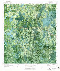
1971 · Tarver
USGS Topo · 1:24,000
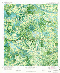
1971 · Pineland
USGS Topo · 1:24,000