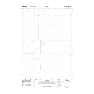
2011 Map of Tatanka Lake
USGS Topo · Published 2011About this map
Tatanka Lake and the surrounding drainage of Iron Dog Creek define this landscape on the border of the Dakotas. The terrain is characterized by prairie water management, featuring infrastructure like the Richard Glines Dam and John Gehring Dam. To the north, the elevation rises toward Leaf-On Hill, where Leaf on the Hill Creek originates. This modern survey illustrates a sparsely populated region of the Standing Rock area, where the road network is limited to essential thoroughfares like County Rd, 245 Ave, and 104th St. The map provides a clear record of family-named landmarks and water resources critical to the local ranching and agricultural economy in the early 21st century.
Find a feature on this map
9 named features on this map. Tap any name to fly to it.
Don’t see what you’re looking for? This feature index may not catch every label — zoom into the map to look around manually.
Map Details
Editions of this 2011 Tatanka Lake Map
This is the sole edition of this map. No revisions or reprints were ever made.
Other maps of this area

1953 · McIntosh
USGS Topo · 1:250,000

1954 · Bismarck
USGS Topo · 1:250,000

1956 · Bullhead
USGS Topo · 1:24,000

1956 · Bullhead SW
USGS Topo · 1:24,000

1958 · Bismarck
USGS Topo · 1:250,000

1958 · McIntosh
USGS Topo · 1:250,000

1971 · Shields SW
USGS Topo · 1:24,000

1971 · Lookout Butte SE
USGS Topo · 1:24,000

1971 · Pamplin Hills
USGS Topo · 1:24,000

1972 · Walker
USGS Topo · 1:24,000