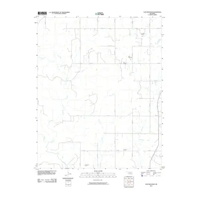
2010 Map of Tate Mountain
USGS Topo · Published 2010About this map
Tate Mountain rises above a rural landscape defined by a network of sectional roads and meandering waterways in this 2010 survey of the Wewoka area. The terrain is deeply carved by the Little River, which snakes across the western and southern portions of the quadrangle, joined by tributaries such as Salt Creek and Sand Creek. The distribution of local landmarks suggests a legacy of established rural communities, particularly evident in the presence of scattered burial grounds including Sand Creek Cemetery and Lone Dove Cemetery. Farther south near the river's edge lies the Thomas Town Cemetery, while Tate Mountain Cemetery sits near the peak of its namesake hill. The map captures a transition between the elevated land of the northeast and the lower river valleys, with drainages like Bird Creek and Cudjo Creek channeling water toward the southern reaches of the county.
Find a feature on this map
30 named features on this map. Tap any name to fly to it.
Don’t see what you’re looking for? This feature index may not catch every label — zoom into the map to look around manually.
Map Details
Editions of this 2010 Tate Mountain Map
This is the sole edition of this map. No revisions or reprints were ever made.
Other maps of this area

1896 · Seminole and Prague
USGS Topo · 1:125,000

1896 · Coalgate
USGS Topo · 1:125,000

1899 · Coalgate
USGS Topo · 1:125,000

1900 · Wewoka
USGS Topo · 1:125,000

1900 · Coalgate
USGS Topo · 1:125,000

1901 · Stonewall
USGS Topo · 1:125,000

1954 · Oklahoma City
USGS Topo · 1:250,000

1957 · Ardmore
USGS Topo · 1:250,000

1957 · Oklahoma City
USGS Topo · 1:250,000

1958 · Sasakwa
USGS Topo · 1:24,000