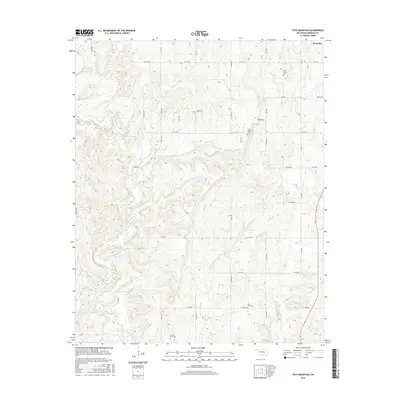
2016 Map of Tate Mountain
USGS Topo · Published 2016About this map
Tate Mountain rises as a prominent landmark in this section of Seminole County, overlooking a landscape defined by the winding course of the Little River. The topography is intricately carved by several waterways, including Salt Creek, Sand Creek, and Cudjo Creek, which dictate the rural road network of East-West and North-South routes. Near the settlement of Wewoka, the map reveals a history of local community burial grounds such as Sand Creek Cemetery and Tate Mountain Cemetery. Farther south, Lone Dove Cemetery and Thomas Town Cemetery reflect the dispersed settlement patterns typical of this part of Oklahoma. The density of these small, family-named landmarks provides valuable context for understanding the cultural geography and ancestral history of the region.
Find a feature on this map
27 named features on this map. Tap any name to fly to it.
Don’t see what you’re looking for? This feature index may not catch every label — zoom into the map to look around manually.
Map Details
Editions of this 2016 Tate Mountain Map
This is the sole edition of this map. No revisions or reprints were ever made.
Other maps of this area

1896 · Seminole and Prague
USGS Topo · 1:125,000

1896 · Coalgate
USGS Topo · 1:125,000

1899 · Coalgate
USGS Topo · 1:125,000

1900 · Wewoka
USGS Topo · 1:125,000

1900 · Coalgate
USGS Topo · 1:125,000

1901 · Stonewall
USGS Topo · 1:125,000

1954 · Oklahoma City
USGS Topo · 1:250,000

1957 · Ardmore
USGS Topo · 1:250,000

1957 · Oklahoma City
USGS Topo · 1:250,000

1958 · Sasakwa
USGS Topo · 1:24,000