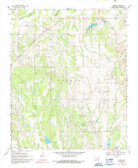
1969 Map of Tatums
USGS Topo · Published 1992About this map
The historically Black town of Tatums serves as a focal point in this topographic survey of Carter County, appearing here alongside the massive Graham Oil Field that dominates the central landscape. The era of oil extraction is evident throughout the terrain, marked by a dense network of unimproved roads, pipelines, and the Oil Spring Cem near Alpers. To the east, the rising slopes of the Arbuckle Mountains provide a sharp contrast to the creek-fed lowlands of the west, where Wildhorse Creek and Flat Creek drain the countryside. Local history and genealogy are well-represented by several family or community burial sites, including Tatums Cem, Pooleville Cem, and the Old Monk Cem. The presence of Pilgrim Ch and the settlement of Pooleville indicate established rural community life during this peak period of local petroleum production.
Find a feature on this map
27 named features on this map. Tap any name to fly to it.
Don’t see what you’re looking for? This feature index may not catch every label — zoom into the map to look around manually.
Map Details
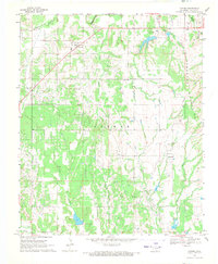
Editions of this 1969 Tatums Map
2 editions found
Other maps of this area

1898 · Pauls Valley
USGS Topo · 1:125,000

1901 · Addington
USGS Topo · 1:125,000

1901 · Ardmore
USGS Topo · 1:125,000

1902 · Pauls Valley
USGS Topo · 1:125,000

1902 · Rush Springs
USGS Topo · 1:125,000

1918 · Ardmore
USGS Topo · 1:125,000

1957 · Ardmore
USGS Topo · 1:250,000

1963 · Ardmore
USGS Topo · 1:250,000

1968 · Fox NE
USGS Topo · 1:24,000

1969 · Hennepin
USGS Topo · 1:24,000