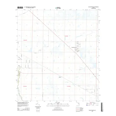
2015 Map of Taylor Creek SW
USGS Topo · Published 2015About this map
Dixie Ranch Acres serves as a primary residential node within this landscape of drainage sloughs and prairie northeast of the Kissimmee River. The grid layout of this community is defined by numerous courts and streets, including NW 96th Ct and NW 80th Ct, showing a concentrated pocket of development amidst the broader expanse of Okeechobee County. To the west, the Florida National Scenic Trail winds near Platt Bluff at the county line, providing a recreational corridor through the wetlands.
Find a feature on this map
35 named features on this map. Tap any name to fly to it.
Don’t see what you’re looking for? This feature index may not catch every label — zoom into the map to look around manually.
Map Details
Editions of this 2015 Taylor Creek SW Map
This is the sole edition of this map. No revisions or reprints were ever made.
Other maps of this area
1952 · Okeechobee NW
USGS Topo · 1:24,000
1952 · Okeechobee
USGS Topo · 1:24,000
1953 · Taylor Creek NW
USGS Topo · 1:24,000
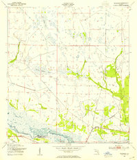
1953 · Basinger
USGS Topo · 1:24,000
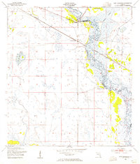
1953 · Fort Basinger
USGS Topo · 1:24,000
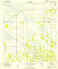
1953 · Brighton
USGS Topo · 1:24,000
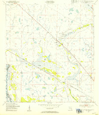
1953 · Taylor Creek SW
USGS Topo · 1:24,000
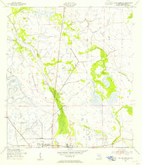
1953 · Taylor Creek SE
USGS Topo · 1:24,000
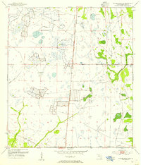
1953 · Taylor Creek NE
USGS Topo · 1:24,000
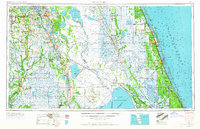
1956 · Fort Pierce
USGS Topo · 1:250,000