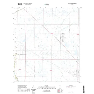
2021 Map of Taylor Creek SW
USGS Topo · Published 2021About this map
Yates Marsh and the surrounding sloughs define this section of the Florida landscape along the border of Highlands Co and Okeechobee Co. This 2021 survey illustrates a region where water management and rural settlement intersect, notably at Dixie Ranch Acres, a residential cluster arranged along a series of numbered courts. The hydrology is complex, featuring named drainage ways like Turkey Slough, Popash Slough, and the winding Sandfly Gully.
Find a feature on this map
48 named features on this map. Tap any name to fly to it.
Don’t see what you’re looking for? This feature index may not catch every label — zoom into the map to look around manually.
Map Details
Editions of this 2021 Taylor Creek SW Map
This is the sole edition of this map. No revisions or reprints were ever made.
Other maps of this area

1952 · Okeechobee NW
USGS Topo · 1:24,000

1952 · Okeechobee
USGS Topo · 1:24,000

1953 · Taylor Creek NW
USGS Topo · 1:24,000

1953 · Basinger
USGS Topo · 1:24,000

1953 · Fort Basinger
USGS Topo · 1:24,000

1953 · Brighton
USGS Topo · 1:24,000

1953 · Taylor Creek SW
USGS Topo · 1:24,000

1953 · Taylor Creek SE
USGS Topo · 1:24,000

1953 · Taylor Creek NE
USGS Topo · 1:24,000

1956 · Fort Pierce
USGS Topo · 1:250,000