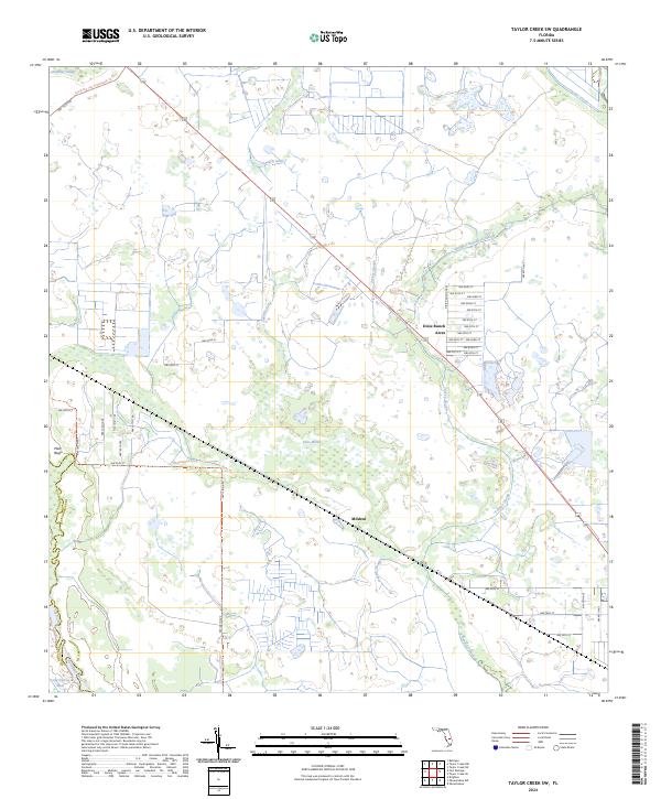
2024 Map of Taylor Creek SW
USGS Topo · Published 2024About this map
Dixie Ranch Acres and the small settlement of Mildred define the human footprint on this South Florida landscape, where a dense network of residential streets meets a vast system of wetlands and watercourses. The hydrology of the region is notably complex, dominated by various sloughs and gullies such as Chandler Hammock Slough, Turkey Slough, and Sandfly Gully that drain toward the Kissimmee River and Taylor Creek.
Find a feature on this map
52 named features on this map. Tap any name to fly to it.
Don’t see what you’re looking for? This feature index may not catch every label — zoom into the map to look around manually.
Map Details
Editions of this 2024 Taylor Creek SW Map
This is the sole edition of this map. No revisions or reprints were ever made.
Other maps of this area

1952 · Okeechobee NW
USGS Topo · 1:24,000

1952 · Okeechobee
USGS Topo · 1:24,000

1953 · Taylor Creek NW
USGS Topo · 1:24,000

1953 · Basinger
USGS Topo · 1:24,000

1953 · Fort Basinger
USGS Topo · 1:24,000

1953 · Brighton
USGS Topo · 1:24,000

1953 · Taylor Creek SW
USGS Topo · 1:24,000

1953 · Taylor Creek SE
USGS Topo · 1:24,000

1953 · Taylor Creek NE
USGS Topo · 1:24,000

1956 · Fort Pierce
USGS Topo · 1:250,000