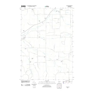
2010 Map of Taylor
USGS Topo · Published 2010About this map
Taylor and Sechlerville anchor this agricultural landscape in Jackson County, where the driftless-style terrain is defined by numerous drainage valleys locally known as coulees. The Trempealeau River winds through the northwestern corner, joined by a network of tributaries including Pine Creek, French Creek, and Skutley Creek. This 2010 survey highlights a significant concentration of rural burial grounds, such as Sechlerville Cemetery, Sherwood Cemetery, and Woodlawn Cemetery, which provide essential touchstones for genealogical research in this part of Wisconsin. The presence of Halverson Landing Field near Skutley Coulee suggests the continued importance of private aviation in managing these large rural tracts. Farther south, the small settlement of Disco sits at a crossroads, illustrating the enduring township grid system and the way localized water features like Lowe Creek Pond have shaped the placement of roads and farmsteads.
Find a feature on this map
63 named features on this map. Tap any name to fly to it.
Don’t see what you’re looking for? This feature index may not catch every label — zoom into the map to look around manually.
Map Details
Editions of this 2010 Taylor Map
This is the sole edition of this map. No revisions or reprints were ever made.
Other maps of this area

1924 · Black River Falls
USGS Topo · 1:62,500

1926 · Black River Falls
USGS Topo · 1:62,500

1926 · North Bend
USGS Topo · 1:62,500

1927 · Blair
USGS Topo · 1:62,500

1928 · Melrose
USGS Topo · 1:48,000

1929 · North Bend
USGS Topo · 1:62,500

1949 · Melrose
USGS Topo · 1:62,500

1953 · Eau Claire
USGS Topo · 1:250,000

1958 · Eau Claire
USGS Topo · 1:250,000

1964 · Eau Claire
USGS Topo · 1:250,000