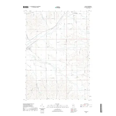
2018 Map of Taylor
USGS Topo · Published 2018About this map
Taylor and the neighboring settlements of Sechlerville and Disco define the human geography of this rural Jackson County landscape. The terrain is deeply textured by the local coulee system, including Skutley Coulee, Smith Coulee, and Pete Coulee, which direct the flow of numerous small waterways toward the Trempealeau River. This network of valleys has long shaped the placement of roads and farmsteads, creating a distinct pattern of movement through the hills. Genealogists will find several burial grounds distributed across the area, including Woodlawn Cem near Taylor and Sechlerville Cem further north. The presence of Lowe Cr Pond and the winding course of French Cr highlight the vital role of water management in this agricultural region. This map provides a clear look at the rural road grid that connects these quiet communities, from Curran RD to the local stretches of Co HWY G.
Find a feature on this map
76 named features on this map. Tap any name to fly to it.
Don’t see what you’re looking for? This feature index may not catch every label — zoom into the map to look around manually.
Map Details
Editions of this 2018 Taylor Map
This is the sole edition of this map. No revisions or reprints were ever made.
Other maps of this area

1924 · Black River Falls
USGS Topo · 1:62,500

1926 · Black River Falls
USGS Topo · 1:62,500

1926 · North Bend
USGS Topo · 1:62,500

1927 · Blair
USGS Topo · 1:62,500

1928 · Melrose
USGS Topo · 1:48,000

1929 · North Bend
USGS Topo · 1:62,500

1949 · Melrose
USGS Topo · 1:62,500

1953 · Eau Claire
USGS Topo · 1:250,000

1958 · Eau Claire
USGS Topo · 1:250,000

1964 · Eau Claire
USGS Topo · 1:250,000