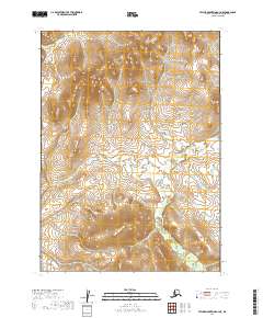
2019 Map of Taylor Mountains A-3 NE
USGS Topo · Published 2019About this map
Old Man Cr and its various tributaries wind through the high plateaus of the Taylor Mountains in the Dillingham Census Area. This 2019 survey, produced by the U.S. Department of the Interior, documents a wilderness landscape defined by sharp elevation shifts and drainages. The northern portion of the quadrangle includes the headwaters of Vukpalik Cr within T2n R44w, illustrating the transition from steep mountain slopes to the saturated lowlands. The lack of structures or transportation infrastructure reflects the isolation of this interior Alaska region, where hydrology dictates the movement across the terrain. These maps are essential for understanding the natural drainage basins of the Bristol Bay watershed, including the relationship between the elevated divides and the unnamed ponds scattered across the southern townships like T1n R43w.
Find a feature on this map
7 named features on this map. Tap any name to fly to it.
Don’t see what you’re looking for? This feature index may not catch every label — zoom into the map to look around manually.
Map Details
Editions of this 2019 Taylor Mountains A-3 NE Map
This is the sole edition of this map. No revisions or reprints were ever made.
Other maps of this area

1950 · Taylor Mountains
USGS Topo · 1:250,000

1951 · Taylor Mountains
USGS Topo · 1:250,000

1954 · Taylor Mountains
USGS Topo · 1:250,000
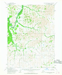
1954 · Taylor Mountains B-2
USGS Topo · 1:63,360

1954 · Taylor Mountains A-2
USGS Topo · 1:63,360
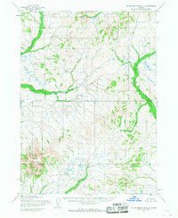
1954 · Taylor Mountains A-3
USGS Topo · 1:63,360
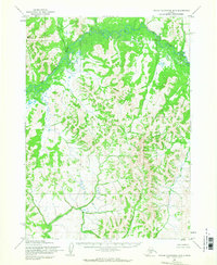
1954 · Taylor Mountains B-3
USGS Topo · 1:63,360
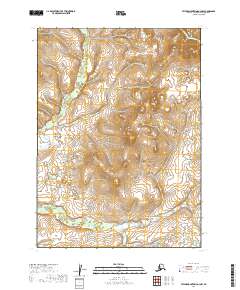
2019 · Taylor Mountains A-3 NW
USGS Topo · 1:25,000
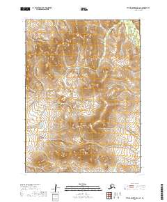
2019 · Taylor Mountains A-3 SE
USGS Topo · 1:25,000
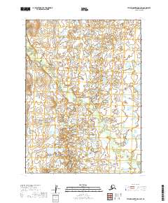
2019 · Taylor Mountains A-2 SW
USGS Topo · 1:25,000