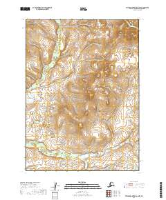
2019 Map of Taylor Mountains A-3 NW
USGS Topo · Published 2019About this map
Vukpalik Cr meanders through this interior Alaska landscape, providing the primary drainage for the surrounding terrain. This 2019 survey documents the intricate network of wetlands and minor tributaries that feed into the creek, reflecting a wilderness area defined by its hydrology rather than human infrastructure. The map spans several townships, including t2n r45w, t2n r44w, t1n r45w, and t1n r44w, where the lack of roads or established settlements highlights the remote character of the Dillingham Census Area. Elevation contours reveal a series of low hills and valleys, showing how the local topography dictates the flow of surface water across the tundra.
Find a feature on this map
6 named features on this map. Tap any name to fly to it.
Don’t see what you’re looking for? This feature index may not catch every label — zoom into the map to look around manually.
Map Details
Editions of this 2019 Taylor Mountains A-3 NW Map
This is the sole edition of this map. No revisions or reprints were ever made.
Other maps of this area

1950 · Taylor Mountains
USGS Topo · 1:250,000

1951 · Taylor Mountains
USGS Topo · 1:250,000

1954 · Taylor Mountains
USGS Topo · 1:250,000

1954 · Taylor Mountains A-4
USGS Topo · 1:63,360
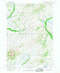
1954 · Taylor Mountains A-3
USGS Topo · 1:63,360
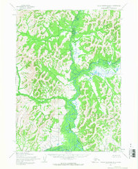
1954 · Taylor Mountains B-4
USGS Topo · 1:63,360
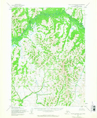
1954 · Taylor Mountains B-3
USGS Topo · 1:63,360
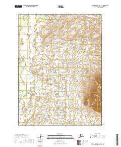
2019 · Taylor Mountains A-4 SE
USGS Topo · 1:25,000
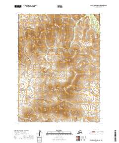
2019 · Taylor Mountains A-3 SE
USGS Topo · 1:25,000
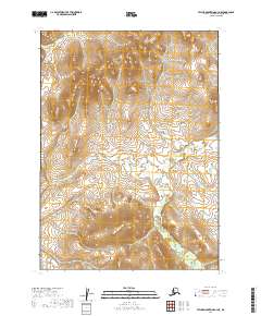
2019 · Taylor Mountains A-3 NE
USGS Topo · 1:25,000