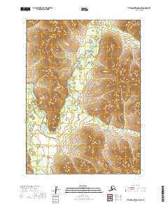
2019 Map of Taylor Mountains B-2 NW
USGS Topo · Published 2019About this map
The Nushagak River dominates this interior landscape, winding through a broad valley defined by the dramatic loop of the Big Bend. This 2019 survey documents a sparsely populated region within the Dillingham Census Area, where the river's meandering course creates numerous sloughs and side channels against a backdrop of rising terrain. Small tributaries like Crooked Cr and McGlory Cr flow from the surrounding ridges, feeding into the main channel. The landscape is marked by the systematic divisions of the Public Land Survey System, including townships such as t4n r43w and t5n r42w. This map provides a detailed look at the hydrology of the Nushagak basin before any modern industrial footprint, preserving the natural state of the waterways and the elevation patterns of the flanking hills.
Find a feature on this map
10 named features on this map. Tap any name to fly to it.
Don’t see what you’re looking for? This feature index may not catch every label — zoom into the map to look around manually.
Map Details
Editions of this 2019 Taylor Mountains B-2 NW Map
This is the sole edition of this map. No revisions or reprints were ever made.
Other maps of this area

1950 · Taylor Mountains
USGS Topo · 1:250,000

1951 · Taylor Mountains
USGS Topo · 1:250,000

1954 · Taylor Mountains
USGS Topo · 1:250,000
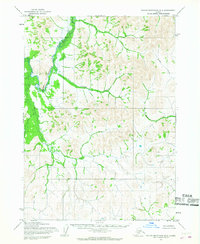
1954 · Taylor Mountains B-2
USGS Topo · 1:63,360

1954 · Taylor Mountains C-3
USGS Topo · 1:63,360
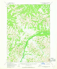
1954 · Taylor Mountains C-2
USGS Topo · 1:63,360
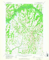
1954 · Taylor Mountains B-3
USGS Topo · 1:63,360
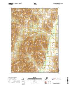
2019 · Taylor Mountains C-2 SW
USGS Topo · 1:25,000
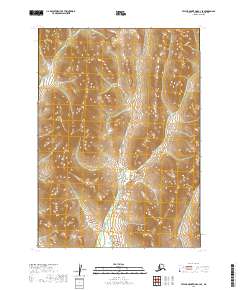
2019 · Taylor Mountains C-3 SE
USGS Topo · 1:25,000
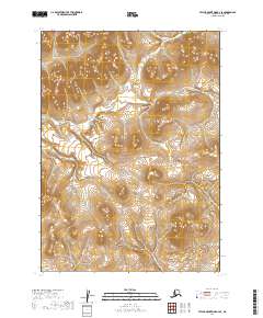
2019 · Taylor Mountains B-2 SE
USGS Topo · 1:25,000