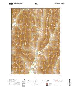
2019 Map of Taylor Mountains C-3 SE
USGS Topo · Published 2019About this map
Polly Cr flows through this remote stretch of the Taylor Mountains within the Dillingham Census Area, marking a landscape defined by sharp elevation shifts and significant drainages. The area is dominated by the interior highlands where Polly Cr and Burnt Cabin Cr carve through the terrain, illustrating the natural watershed patterns of this unpopulated region. This 2019 survey provides a precise look at the topography across four different townships, including t6n r44w and t5n r43w. The absence of roads or established settlements emphasizes the wilderness character of this part of Alaska, where the geography itself remains the primary focus for researchers and surveyors.
Find a feature on this map
6 named features on this map. Tap any name to fly to it.
Don’t see what you’re looking for? This feature index may not catch every label — zoom into the map to look around manually.
Map Details
Editions of this 2019 Taylor Mountains C-3 SE Map
This is the sole edition of this map. No revisions or reprints were ever made.
Other maps of this area

1950 · Taylor Mountains
USGS Topo · 1:250,000

1951 · Taylor Mountains
USGS Topo · 1:250,000

1954 · Taylor Mountains
USGS Topo · 1:250,000
1954 · Taylor Mountains B-2
USGS Topo · 1:63,360

1954 · Taylor Mountains C-3
USGS Topo · 1:63,360
1954 · Taylor Mountains C-2
USGS Topo · 1:63,360
1954 · Taylor Mountains B-3
USGS Topo · 1:63,360
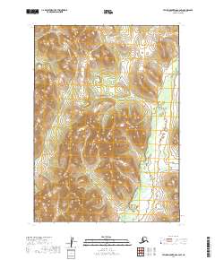
2019 · Taylor Mountains C-2 SW
USGS Topo · 1:25,000
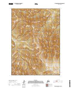
2019 · Taylor Mountains C-2 NW
USGS Topo · 1:25,000
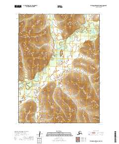
2019 · Taylor Mountains B-3 NW
USGS Topo · 1:25,000