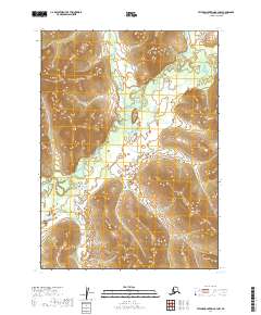
2019 Map of Taylor Mountains B-3 NW
USGS Topo · Published 2019About this map
Butch Mtn rises above the glacial and alluvial landscape of the Dillingham Census Area, serving as a prominent landmark in this largely roadless interior. The Nushagak River winds through the southwestern portion of the sheet, its wide meanders and associated wetlands indicating a dynamic fluvial system that has shaped the region's topography over millennia. Tributaries such as Fifteenmile Cr and Polly Cr drain the higher elevations, cutting through the township and range divisions of T5N, T4N, and T3N. This 2019 survey documents the intricate drainage patterns and elevation contours of a wilderness area where the natural water systems remain the primary geographic features, providing critical detail for understanding the hydrological structure of the Nushagak basin.
Find a feature on this map
10 named features on this map. Tap any name to fly to it.
Don’t see what you’re looking for? This feature index may not catch every label — zoom into the map to look around manually.
Map Details
Editions of this 2019 Taylor Mountains B-3 NW Map
This is the sole edition of this map. No revisions or reprints were ever made.
Other maps of this area

1950 · Taylor Mountains
USGS Topo · 1:250,000

1951 · Taylor Mountains
USGS Topo · 1:250,000

1954 · Taylor Mountains
USGS Topo · 1:250,000

1954 · Taylor Mountains C-4
USGS Topo · 1:63,360

1954 · Taylor Mountains C-3
USGS Topo · 1:63,360
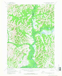
1954 · Taylor Mountains B-4
USGS Topo · 1:63,360
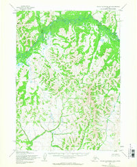
1954 · Taylor Mountains B-3
USGS Topo · 1:63,360
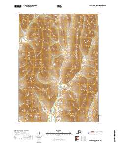
2019 · Taylor Mountains C-3 SE
USGS Topo · 1:25,000
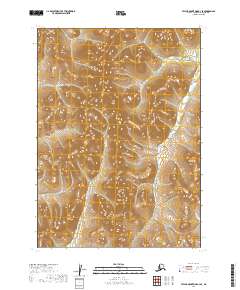
2019 · Taylor Mountains B-3 SE
USGS Topo · 1:25,000
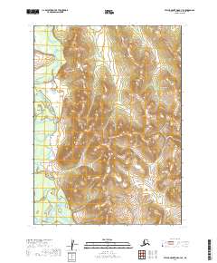
2019 · Taylor Mountains B-4 SE
USGS Topo · 1:25,000